Snowmobiling Maine | 2017
We ride 300 miles across some of northern Maine’s best trails.
Every once in a while, I get an opportunity I can’t pass up. It just so happens that this year was my fourth in a row of trading a warm and sunny spring break in Arizona for the frigid cold of Maine. Because I have family on the east coast that snowmobile every year, it is just a quick flight to Boston and a drive up to Maine and I get to go snowmobiling.
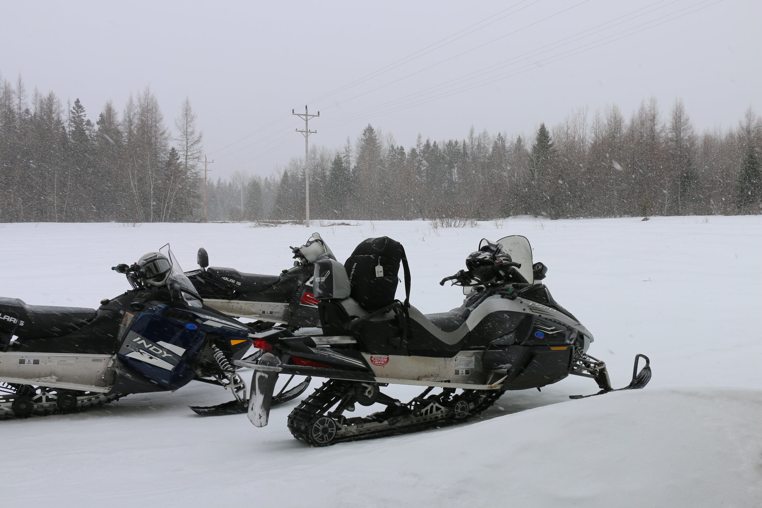
It was 18 degrees with a strong wind when I landed at Logan International. I met up with my cousin Bill, who’s makes it out to Arizona about every year and has done trips like both Northern Arizona Expeditions with us. It was late in the day already and we still had to get our riding gear ready. Because it was late in the season (nearly spring time when I made it up), the trailer loaded with 5 snowmobile’s – or sleds – was already parked at Bill’s camp near Milo, Maine. It was about noon on Sunday when we (Bill, my new friend PJ, and I) hit the road bound for Maine. After a couple of hours we quickly crossed through New Hampshire and then over the iconic bridge into Maine. “Welcome to Maine, open for business” the welcome sign read.
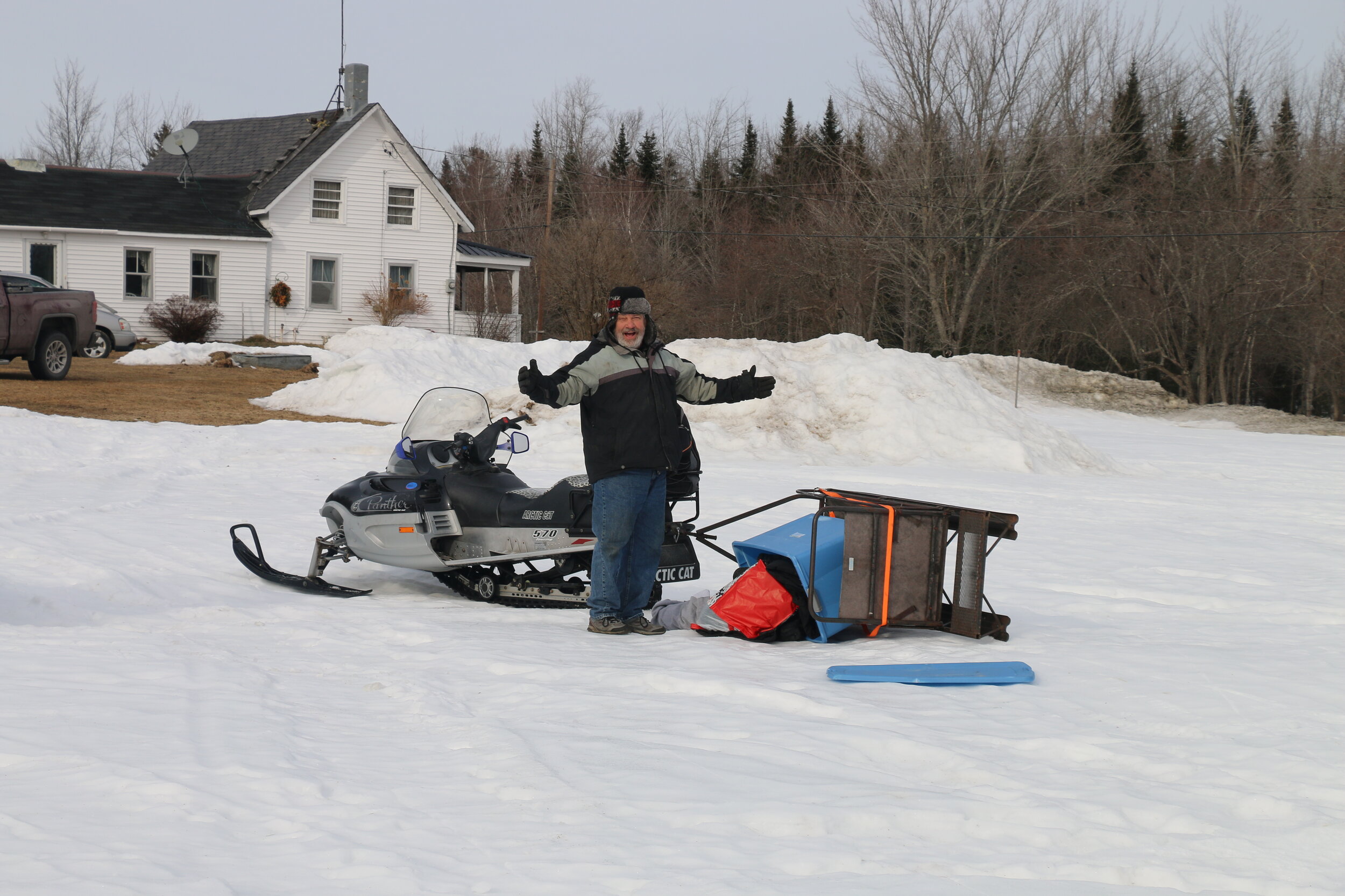
We were only halfway to our camp for the night so we proceeded northeast. After another hour, we turned off Highway 95 and began taking backroads the rest of the way to camp. By the time we rolled into Oronville Township just south of Milo, it was nearly sunset. The high that day as in the low 20s so the less time we could spend outside the better. With our excitement finally kicking in, we pulled up to the black trailer loaded with snowmobiles and got out. We immediately got to work – opening up the trailer, starting up the sleds, and backing them out.
We would only be staying one night at the rustic cabin just three-quarters of a mile away since the snow here was thing and slippery – not good conditions for riding. We loaded up whatever gear we needed for the night and the generator onto the toboggan and set out for camp. It was less than a mile ride, but the freezing air was numbing. As we pulled up to the cabin, we left the sleds running as we unloaded our gear into the dark, cold cabin. The first goal was to get the generator running so we had light and then immediately set to work getting the woodstove cranking.
Because it was freezing (literally) in the cabin, we headed back to the truck and into town for some warm pizza and cold beer. By the time we got back to the cabin it was almost 10 PM. But the cabin was nice and toasty.
Night 1 at Bill’s camp.
DAY 1:
The next morning we woke up and got some French toast cooking on the propane stove. Today we’d be hauling the trailer and sleds even further north where the riding conditions were better. We quickly packed up our gear and started up the sleds. It was just a short ride back to the trailer where we loaded up the sleds, attached the trailer, and hit the road. Using backroads, we connected back with Highway 95 which we would be following all the way to the Canadian border. We were treated to great views of Mount Katahdin (Maine’s highest point) as we climbed through ever-more remote country. After a solid 2 hour drive, we reached Houlton, Maine and split off onto Highway 1 and followed it northbound.
On the snowmobile trail near Presque Isle.
We cruised past the towns of Mars Hill and Presque Isle. The further north we got, the deeper the snow was. Roughly 2 hours past Houlton, we reached our destination for the next 3 nights. We’d be staying at a rented cabin on the banks of the very frozen Madawaska Lake. The cabin was technically in New Sweden, Maine but was just 20 miles north of Caribou. It would provide a prime location for great riding throughout Aroostok County – the largest and most remote country in Maine.
Battling some icy roads, we finally got the trailer staged and the sleds unloaded. We tossed out gear in the pre-warmed cabin. It was only about 2 and we were anxious to get some riding done. After a quick consultation of the snowmobile trail map we decided we’d head for Caribou to see how the riding was. Maine has an Interconnected Trail System (ITS for short) that includes several regional trails and many smaller local trails – basically, you can ride nearly anywhere across the state provided the conditions are right.
We left Madawaska Lake and connected to ITS-83. Heading south, it was clear to see the trails were in great shape. With about a foot of base and nice, wide tracks to follow, we were able to cruise at a solid 45 mph. After crossing several old bridges and desolate highways, we reached Caribou 20 miles later. It was around dinner time so we decided to grab food at Jade Palace. After some tricky navigating (snowmobiles do NOT turn well on asphalt) we were able to park and walk the rest of the way to dinner.
After we topped of our tanks, it was time to begin the ride back. We made a quick detour on the way back to top of fuel for the snowmobiles. Being two-strokes, snowmobiles get pretty bad gas mileage and because we’d have a longer day tomorrow, we’d figure we could save some time by filling up now. By 7 PM the sun was down. Today was just as cold as yesterday – low 20s for a high with wind. We made it back to the cabin by about 8 having put about 50 miles on the sleds. Since the night was still young, we walked out onto the frozen lake. The silence was broken by the sound of cracking ice. Cracking from the ice freezing – not melting. It was unsettling nevertheless and eventually we retreated back into the warm cabin for the night.
A view of Mount Katahdin — Maine’s highest peak.
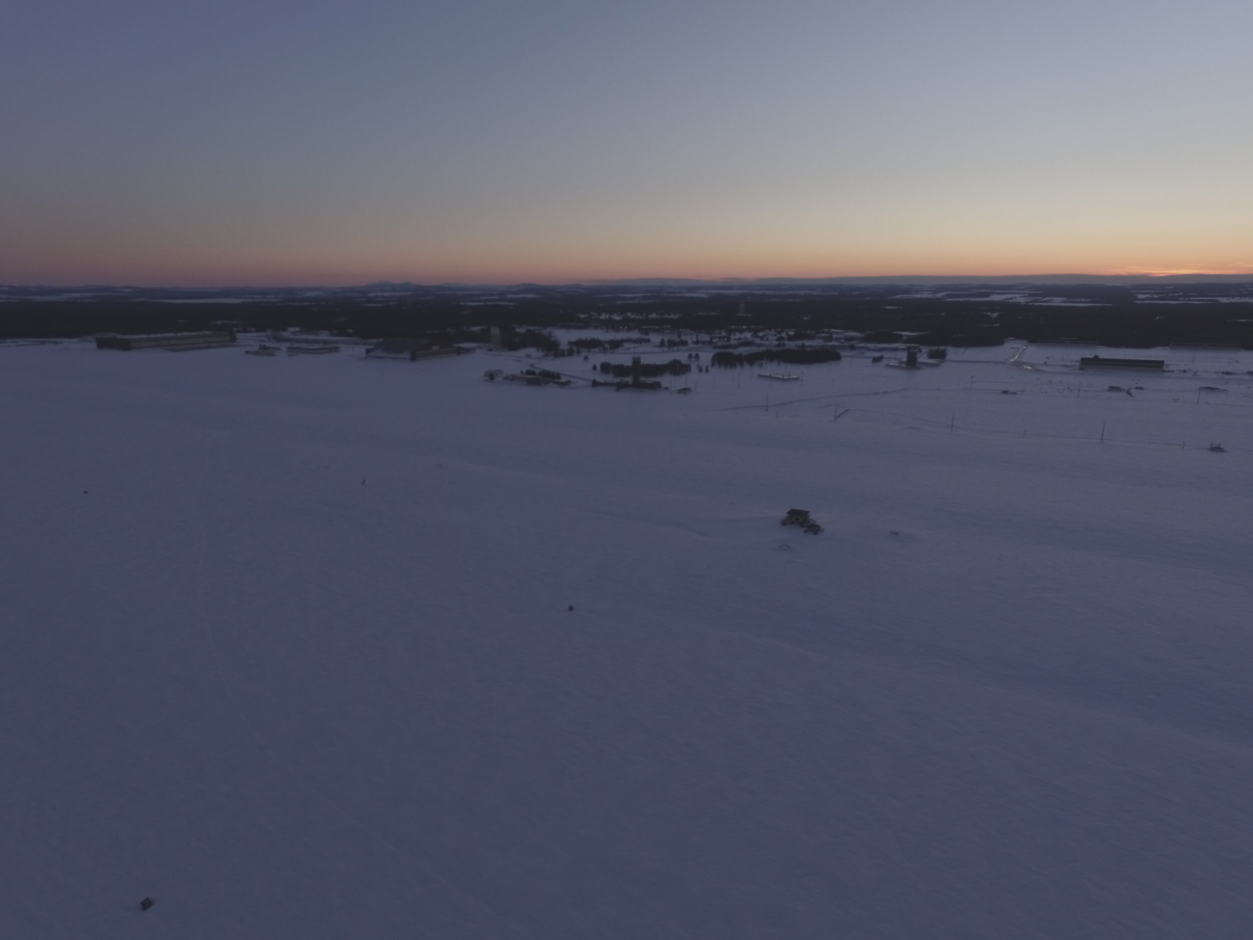
The first night on Cross Lake.
Our base camp on Cross Lake in Aroostok County.
Day 2:
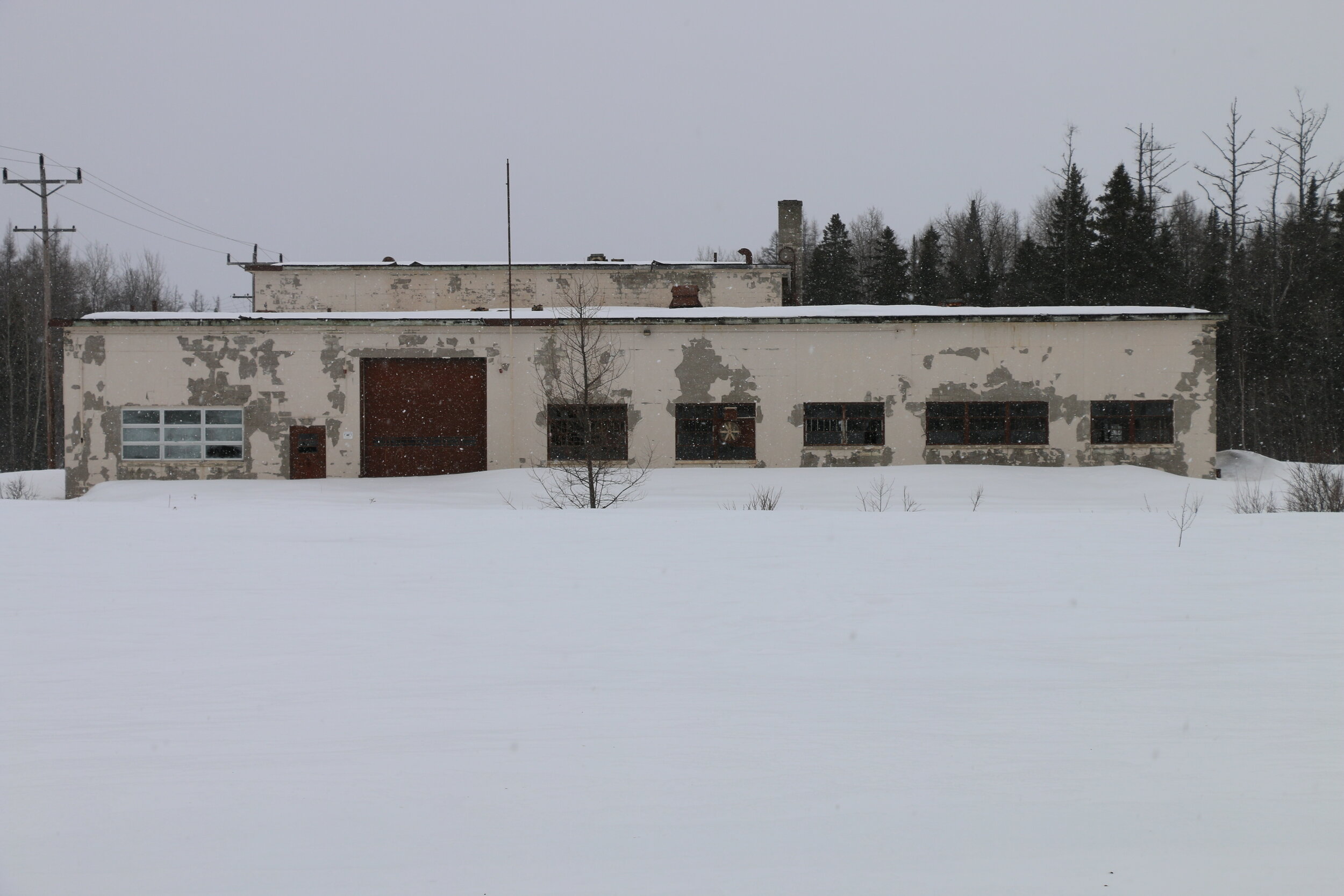
One of the main hangers left at Loring AFB.
The day began like the others had, with a quick breakfast and getting dressed up in all of our snow gear. Today, the weather would continue to be cold but with a storm coming through there was a chance of snow today with rain and warmer temperatures tomorrow. It was gray and gloomy when we locked up the cabin and got the sleds started.
They sputtered to life and spewed smoke as they warmed up. We rode down the road and back to our connection on ITS-83. We continued south back to the Caribou junction. Today we were heading for Limestone, Maine and the abandoned Loring Air Force base we explored a little last year. After 20 miles, we passed through Caribou and proceeded onto ITS-90.
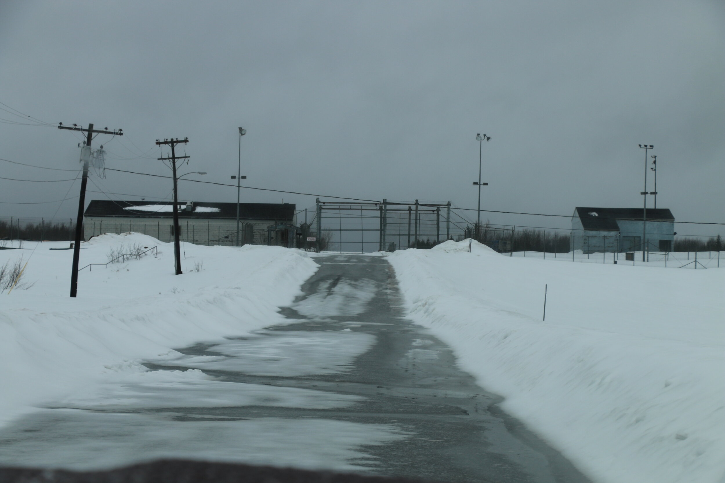
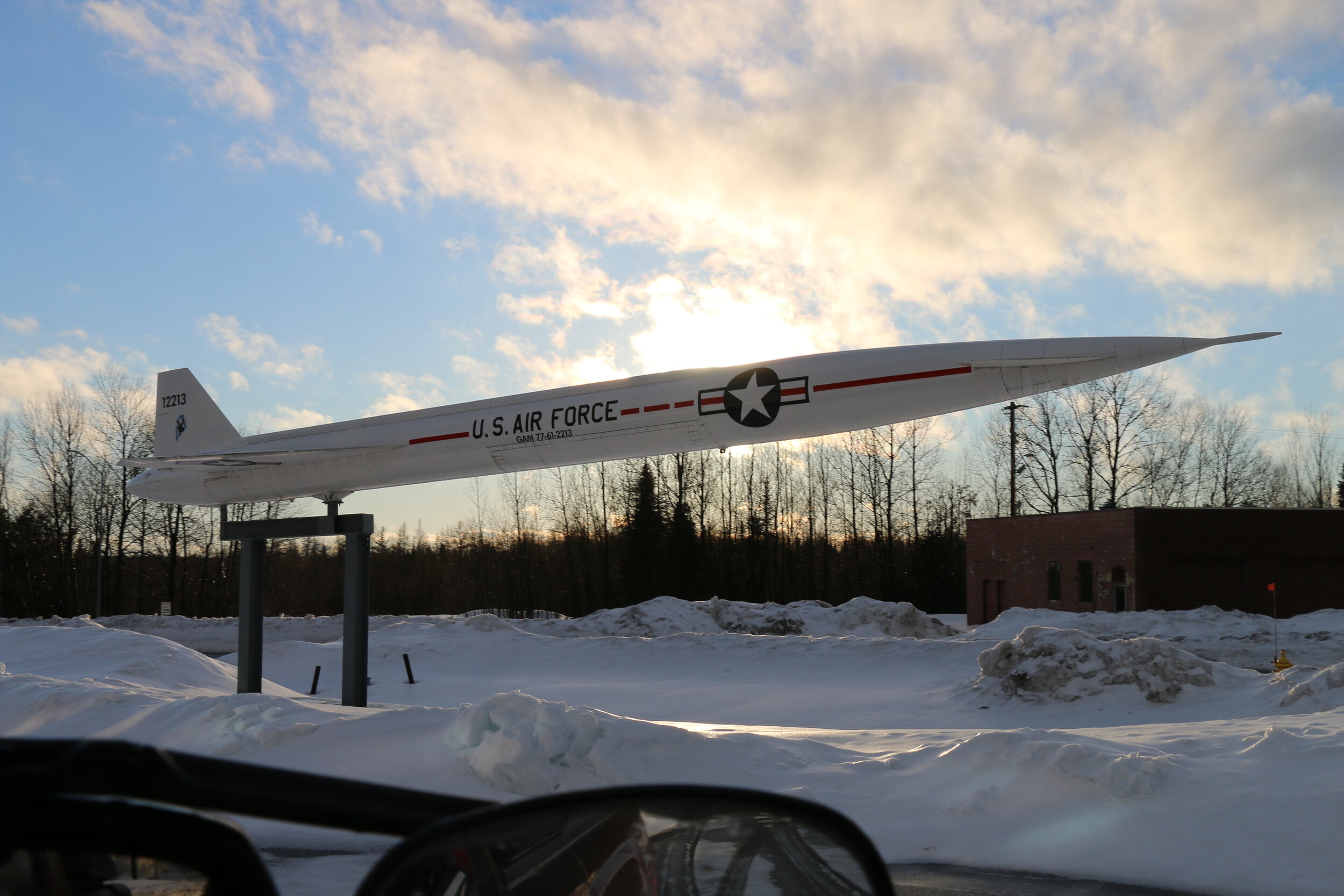
After another 10 miles we had reached the tiny town of Limestone, Maine. Limestone is just a couple miles away from the Canadian border of New Brunswick. We passed through town quickly and rode around the outskirts where in a wide open field, we briefly saw a yearling moose dashing for the woods. Branching off the main ITS trail, we took a side trail up an abandoned access road. Within minutes we had rode over a snowbank and were on the runway of Loring AFB. Loring AFB was active from 1953-1990. For geographical reasons, this is the closest point in the U.S. to Europe and was an important air base used as part of the Strategic Air Command (SAC). At one time, the base housed an entire city and accommodated planes from the B-36, B-52, and several fighter jets and fuel tankers. The runway is two and half miles long.
We found ourselves riding northbound on the wide, flat runway that was now covered in about a foot of snow. We pegged the throttle and held on tight on the bumpy ride. Snow drifts had blown across the runway and the now strong winds meant we couldn’t go flat out. After reaching the end of the main runway, we stopped to look at the remaining landing lights and markers that line the runway. Even though the base has been abandoned for over 20 years, it still remains fairly in-tact and preserved today thanks to the newer Loring Commerce Center.
We proceeded back towards the control tower and main hanger for further investigation. The tall control tower remains, watching over an empty airfield. The faded lettering on the side of the building states we’re at 754’. The building is locked up tight so we could only observe from the outside. Either way, the weather was deteriorating fast and it had begun to blow snow. We huddled under a small awning to discuss our plan.
The mighty control tower still looks over the airfield.
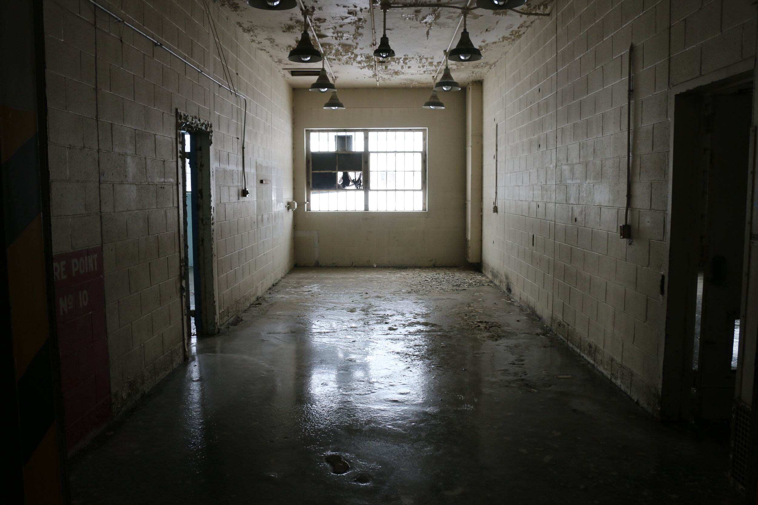
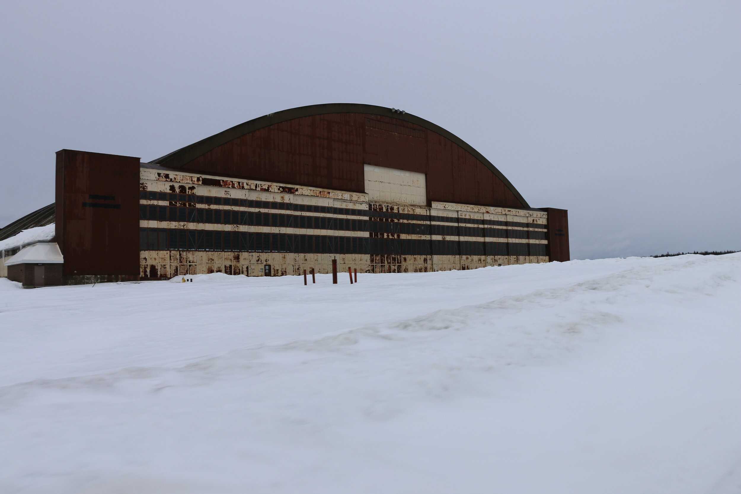
Looking inside the large hanger at Loring.
Parked in the blowing snow at Loring.
Before leaving the base we rode around the two extraordinarily large hangers that remain on the west side of the base. The smaller of the two features an arching door that is purported to hold 2-3 B-52s. A quick peep in the glass window revealed a mostly empty hanger except for a few old vehicles stored inside. The larger hanger to the south was even more impressive. This one was able to hold 6 – B- 52s. The sliding doors towered over us and our seemingly puny snowmobiles. A look inside a broken window revealed an eerily empty building. A few old vehicles and a little imagination and it was easy to see how busy this place must have been during its hey-day.
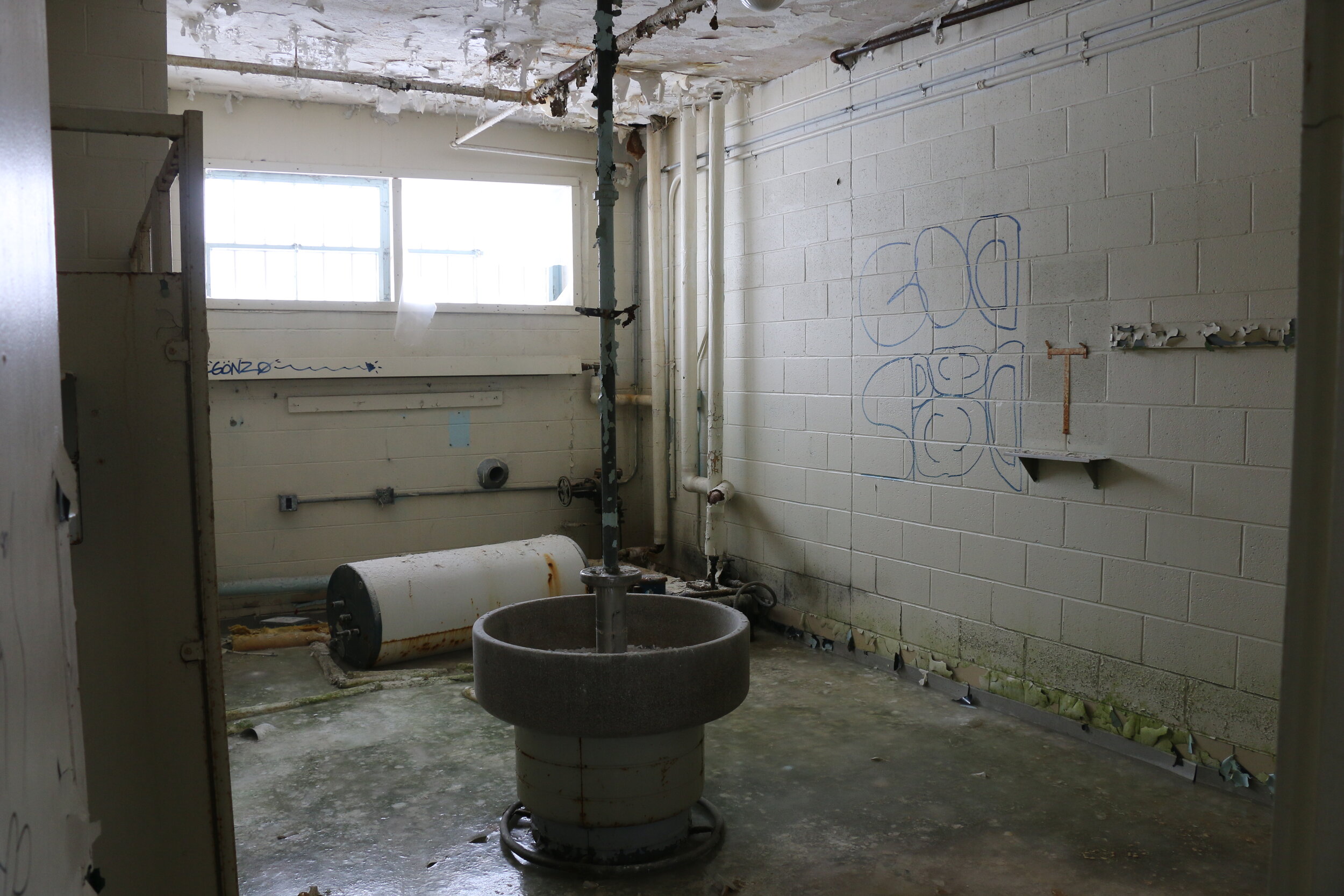
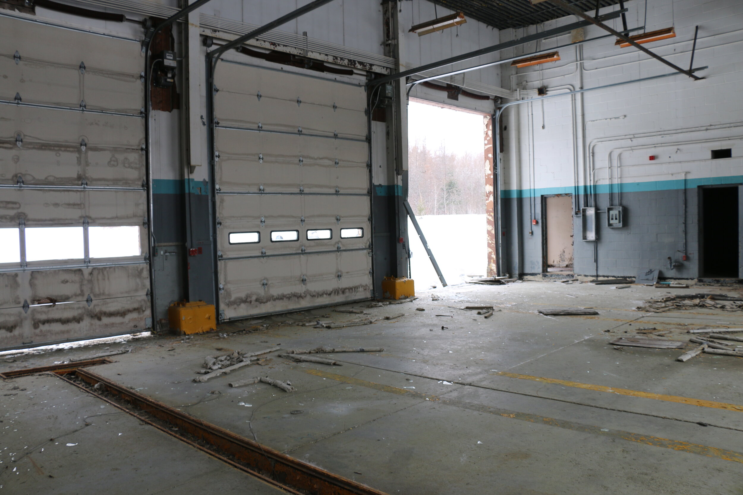
The crappy weather meant that we had to keep moving. For the second time in a row, weather cut our exploration short at Loring. Hopefully we would have time to come back. We rode the sleds off the base and within a mile or so, found a pair of abandoned buildings. These ones were unlocked and in order to get out of the now heavy snow, we ventured inside. The scattered trash and two inches of solid ice on the floor showed that this place hadn’t been used in a long time. Several large garage doors and tons of fire equipment gave us clues to the purpose of these buildings. It seemed like they were some kind of truck maintenance and fire station – used to keep vehicles running when the base was active.
After poking around for maybe half an hour in the creepy, heavily graffitied buildings, we continued back onto ITS-80 and then ITS-90 as we began to make our way back. At a quick stop for gas, we realized something was wrong with one of the sleds. The left front ski on Bill’s sled was throwing a huge amount of snow. We lifted up to find the skag (a metal tube in the middle of the ski used for steering) was completely sheared off. It wasn’t a huge deal since we had a spare back at our cabin in New Sweden.
The storm began to set in by the time we made it back to the cabin.
We continued all the way back to the cabin in the heavy snow. The fresh powder provided a nice layer on top of the existing snowmobile trail, but was sticking to the windshields, our visor, and our jackets. Back at the cabin, we watched the blowing snow on Madawaska Lake, and took advantage of some downtime to repair the broken skag on Bill’s sled. With conditions getting worse still, we opted for a truck ride to dinner instead of sleds. We enjoyed some great seafood and more importantly, poutine at the nearby Lakeview Restaurant. Today had been a solid day of riding despite the deteriorating weather. We managed to put on about 95 miles and had seen some pretty cool places. Sitting around in the cabin, we checked the weather and talked about our plan for tomorrow. It was supposed to warm up with a possibility of rain all day. We went to bed not knowing what exactly we’d be doing the next day.
Day 3:
Just like the forecast had predicted, we awoke to cloudy skies and a steady drizzle of rain. Today wasn’t a good day at all to ride. The temperature was the warmest it had been the entire trip, a blistering 41 degrees, and the rain coming down was doing a number on the already icy trail. We’ve ridden in the rain in past years and it has been miserable. We decided today would be a good day to spend in the truck.
We piled in the dry truck and set out for Fort Kent. Today, we’d be doing a big loop up along the northernmost border and along the Canadian border. We had hoped to ride this loop on snowmobiles, but that wasn’t going to happen today. After about an hour and a half, we had passed through Fort Kent and made it to the tiny community of Allagash, Maine. It is here where the scenic Allagash River dumps into the St. John’s River.
Authentic poutine at the Allagash Lodge. No more needs to be said.
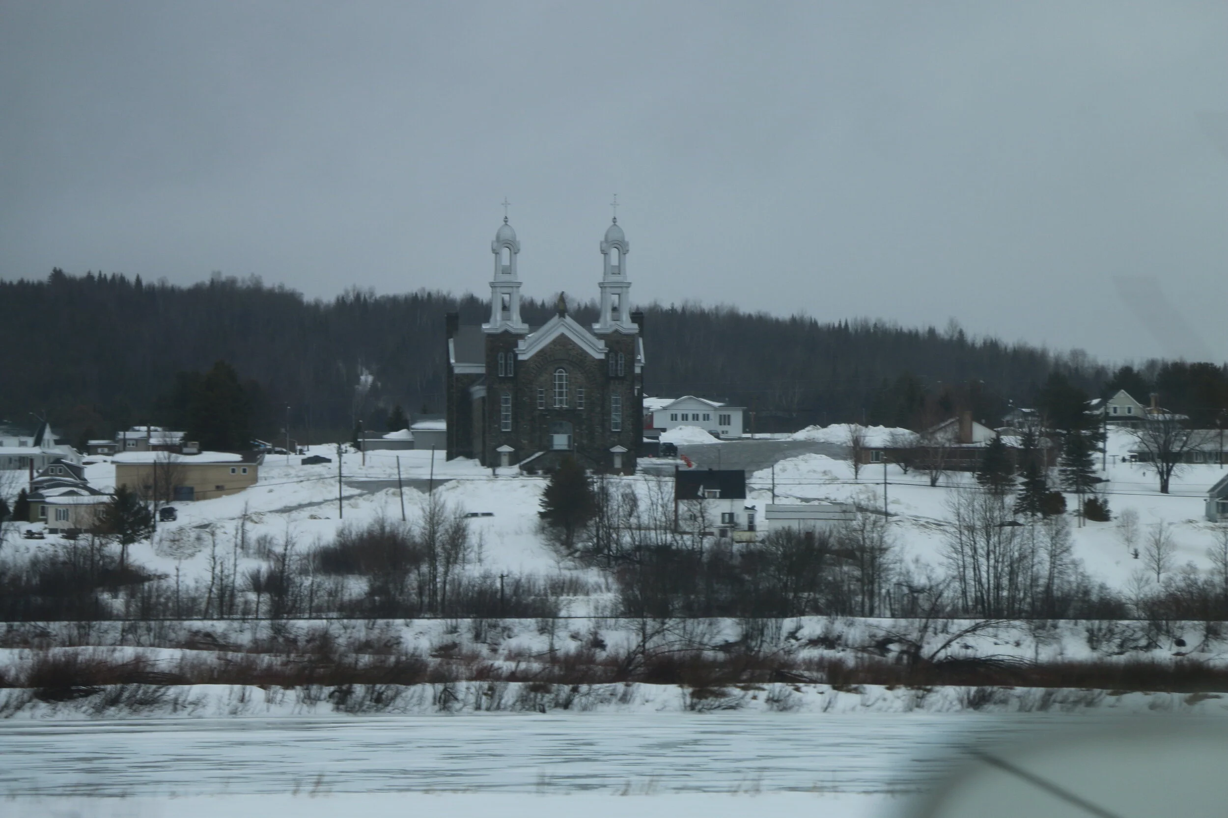
We grabbed some poutine at a small hunting lodge and restaurant – it was fantastic. We walked on near the frozen banks of the river as the rain briefly paused. We continued back through St. Francis and Fort Kent east bound to Madawaska. Madawaska is the northeastern-most town in the U.S. Last year, we had covered a lot of this area on snowmobiles after staying in St. Francis. Past Madawaska the rain picked up and we trucked along and made a right turn to head due south along the Canadian border.

A couple hours later we were back in Limestone. The weather had again paused and we decided to attempt a driving tour of Loring AFB. On the east side of the base is the Aroostok National Wildlife Refuge. While closed this time of year, to our surprise a ranger met us in the parking lot and chatted with us. He was a former Military Police officer on the base and told us about the Loring Nuclear Bunkers located within the refuge. The bunkers were one of the first places in the world where nuclear bombs were loaded and stored, and about 40 bunkers remain today. The deep snow meant we couldn’t see them, but it was another interesting tidbit of history associated with Loring.
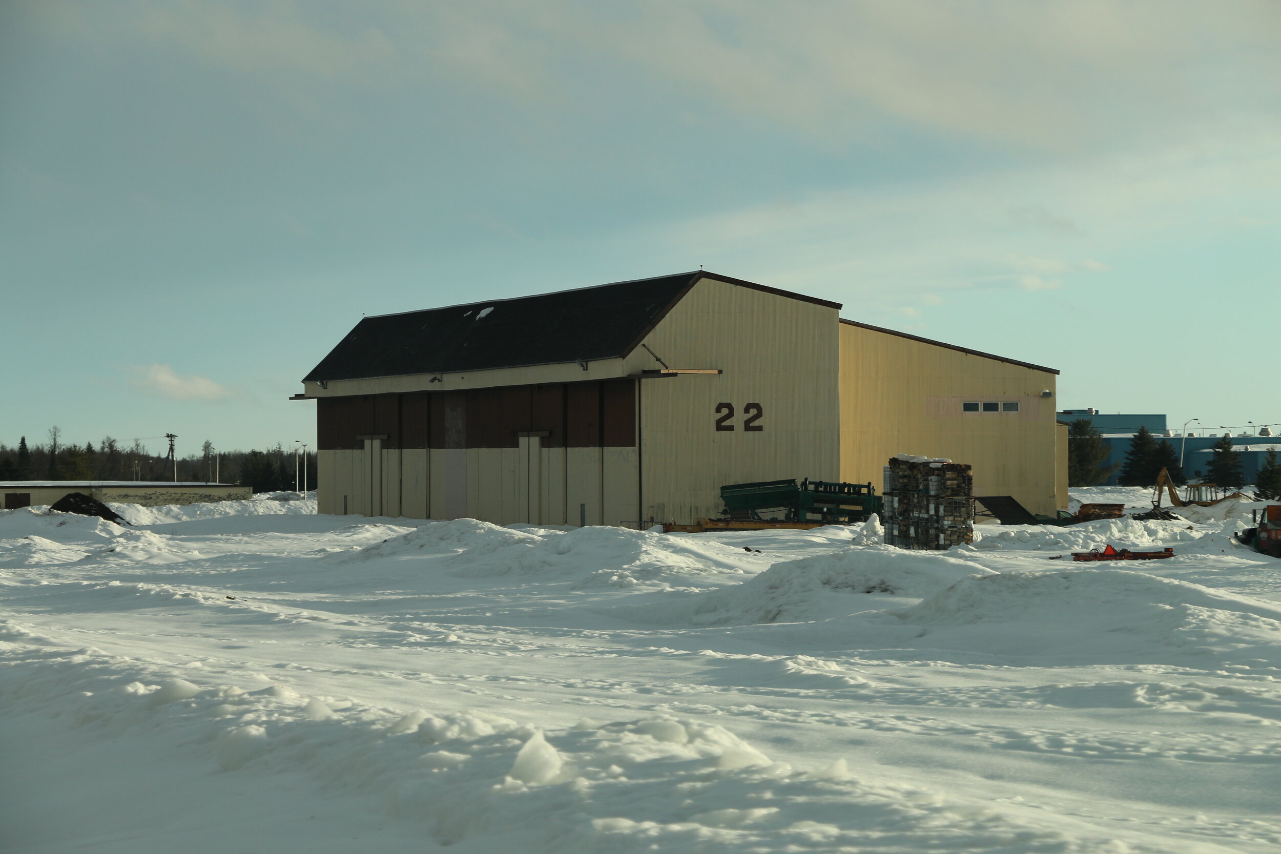
The next couple of hours were spent driving around the air force base. The roads were nearly entirely plowed and allowed us to drive past almost every building that remains. We passed the hangers and control tower seen the day before, but we also found a steam plant (still active), an airfield lighting building, fire station, chapel, hospital, and several small hangers and ramps on the northwest side of the base. Each hanger is numbered and used to house a wing of jets. Some of the buildings have been repurposed, but most sit like they did when the base was active.
Our fully inclusive driving tour was finished off by a just-before-sunset drone flight around the base. Today, a few businesses occupy the still active Loring Commerce Center, and the Loring Job Corp. is housed in the old barracks. On our third visit to Loring, we finally were rewarded with good weather and an excellent tour. We drove back west through Caribou where we had dinner (and more poutine) before making it back to the cabin. While today didn’t go quite as planned, we were able to salvage a great day exploring the region.
Day 4:
At the border crossing in Van Buren, Maine.
Having missed an entire day of riding yesterday, we were up at the crack of dawn. By the time we geared up and got the sleds started it was just after 7:30 AM. Our goal for today was to ride a 90 mile loop roughly following the paved route we took the day before. We connected with ITS-83 and headed northeast. Despite the day of rain, the conditions today were still pretty great. The trail surface was hard packed and fast moving.
In Stockholm we split off 83 and used the 105 connector to head northeast towards Van Buren. After about 1 hour covering 20 miles, we rolled into the border town. We made a quick detour and rode alongside the U.S. Customs station and stopped to look across the river into New Brunswick with its Canadian flags flying. We topped off the tanks in town where the pumps displayed the price both in gallons and liters.
A view along the border trail. On the left, the U.S. On the right, Canada.
After a quick snack, we continued southeast on ITS-81 as it followed Highway 1 and the St. John River Valley. The mostly clear weather meant that we were treated to a nice view in the open areas. Another 20 miles later the snowmobile made a slight right bend to head south. Off to our left was the Hamlin border crossing. For the next few miles we’d be riding – literally – on the U.S./Canadian border. Boundary markers every few thousand feet designated the border.
Riding south we passed through wide open fields and some scenic hills. There was no physical border separating the two countries. We’d spend time riding on one side of the snowmobile trail in the U.S., then jump over five feet and ride in Canada for a while. It was great. Eventually, we arrived back in Limestone and proceeded west bound on ITS-81, 90, and 83 to take us back to the cabin. It was around 3 PM when we got back and began packing things up. This was our last day of riding in far northeastern Maine. From here we would load up the sleds and drive 4 hours back to Milo in central Maine where we would spend one last night.
We emptied the cabin and got the sleds loaded into the trailer one by one. The weather remained cold and windy and the ride in the truck was a welcome relief. It was after 8 PM when we pulled off the paved road and parked the trailer. The snowmobile trailer would stay here till the end of the season (which was quickly approaching) and we would ride the sleds back to Bill’s cabin for the night.
Getting back to the cabin meant hauling all of our gear on the toboggan, getting the generator started, and lighting up the woodstove. The temperature plummeted into the teens and we decided to have dinner back at our favorite place in Milo that served warm pizza and cold beer. Today had been a productive day of riding and we covered around 90 miles total as well as many hours in the truck towing the snowmobiles.
Heading south back to central Maine for the night.
Day 5 – Last Day in Maine:
After a well-deserved nights rest, we got up at a decent time and immediately jumped on pancakes. Today was our last day of riding before we had to begin the long trek back. Unlike the past 3 days, we’d be riding quite a ways further south were the trails were in worse shape. We quickly jumped on the sleds and got them started.
From the cabin we used an informal trail to connect with ITS-83. We headed north to Milo where we’d be hoping to make a nice loop for the day. Conditions on the trail were mediocre at best. With the recent combination of snow and rain, they had more snow than we saw the first night up here, but were hard packed and slippery. Not good for steering or stopping.
We crossed a rickety suspension bridge over the Sebec River where in a bout of getting stuck, Bill backed his snowmobile into mine completely destroying the GoPro mount on my sled. No other damage could be seen so we continued north. After about 20 miles of riding we rolled into Milo where we again topped off on gas.
We continued northwest but the conditions worsened. Part of the trail became a logging road where heavy traffic and recent freezing rain made going forward a nightmare. We decided to turn around and head back the way we came before we got stuck. Retracing our route, we saw no other riders on the trail. Apparently we were the only crazy ones out today.
Just south of Milo we were approaching a banked turn. I found out the hard way that half of the hill had ice and before I turn out of the way, the snowmobile did a complete 180 and I was now going down the trail backward. Thank God PJ saw it because I don’t think Bill would have believed me if I told him I did a 180 in the sled without tipping it. It took a few minutes before my nerves settled down. Its sections like that that can cause serious – life threatening – accidents depending on where you end up.
Nearly all the way back to camp, we had one last hiccup. PJ’s sled decided it no longer needed a guide wheel on the left side of the track. It went flying off on its own. We determined it wasn’t a critical issue and rode the rest of the way back to camp without any more issues for the day. We packed and cleaned the rustic cabin and hauled all of our gear three-quarters of a mile back to Bill’s truck. My time snowmobiling was now over and we loaded all the sleds back into the trailer where they would stay parked until the end of the season.
By 4 PM we were back on the paved road heading south towards Boston. We stopped for dinner and one last shot at poutine before crossing the state line. Maine had been great to us. Today we had only covered about 50 miles of mediocre riding, but all in all, we did about 300 miles in 4 days. We saw some incredible sights, enjoyed a week away from work and responsibility, and have quite a few great stories to tell. There’s a reason why Maine is always “open for business” and a reason I make it up here as often as possible. Until next time, snowmobiling across Maine was epic!