Maricopa County
Buckeye Copper Mine
This small copper mine site outside of Buckeye was operated in the 1960s and 70s.
The Buckeye Copper Mine is a former small scale mining operation in the Gila Bend Mountains. It is located about 20 miles southwest of Buckeye and accessed via Agua Caliente Road and lesser traveled tracks for the final few miles. The mine was primarily a copper producer but found other minerals in smaller quantities as well. Today, several cement foundations, a gated shaft, and other tailings remain on site.
Serious prospecting at the Buckeye Copper Mine started as early as 1960. Various prospects and pits were dug in the surrounding hills. The local volcanics and faults in the area around the mine make for some interesting geology that both look neat and also helped produce precious commodities. By 1961, work was beginning at the mine. In addition to pulling out copper and gold, the workings were also briefly leased to the Apache Stone Supply Co. who pulled decorative rock out of the mine and used in a newly constructed Phoenix-area mall built the same year. That was of course the Christown Mall.
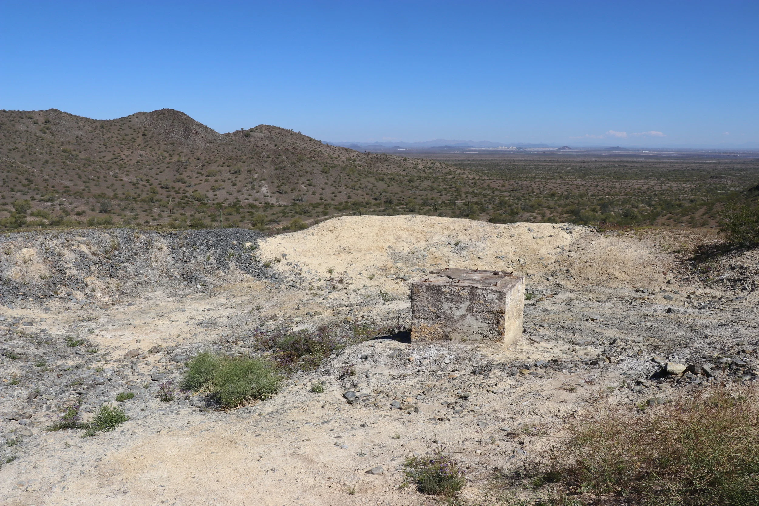
The water reservoir overlooks most of the ruins left today.
Work continued and at least 3 people were living and working at the mine, which probably included the brothers who owned the mine – John & Clyde Lemons. This is likely when most of those buildings & foundations were constructed on the property. It is unclear as to the purpose of each building, or why so many were created.
Copper was the primary mineral here, assaying at 2-3% in places. Trace amounts of gold and silver were also dug up. Uranium was found in small quantities as well, but wasn’t economically viable. The deepest shaft was drilled to around 200 feet with another reaching around 50 feet deep. The Lemons brothers appealed to Phelps Dodge with some of their ore samples, however at the time, the massive company was already full up on copper suppliers. The mine never became the massive commercial success the owners had imagined, and it eventually was abandoned altogether sometime around 1972 or 73.
Several concrete foundations in various sizes are found near the mine.
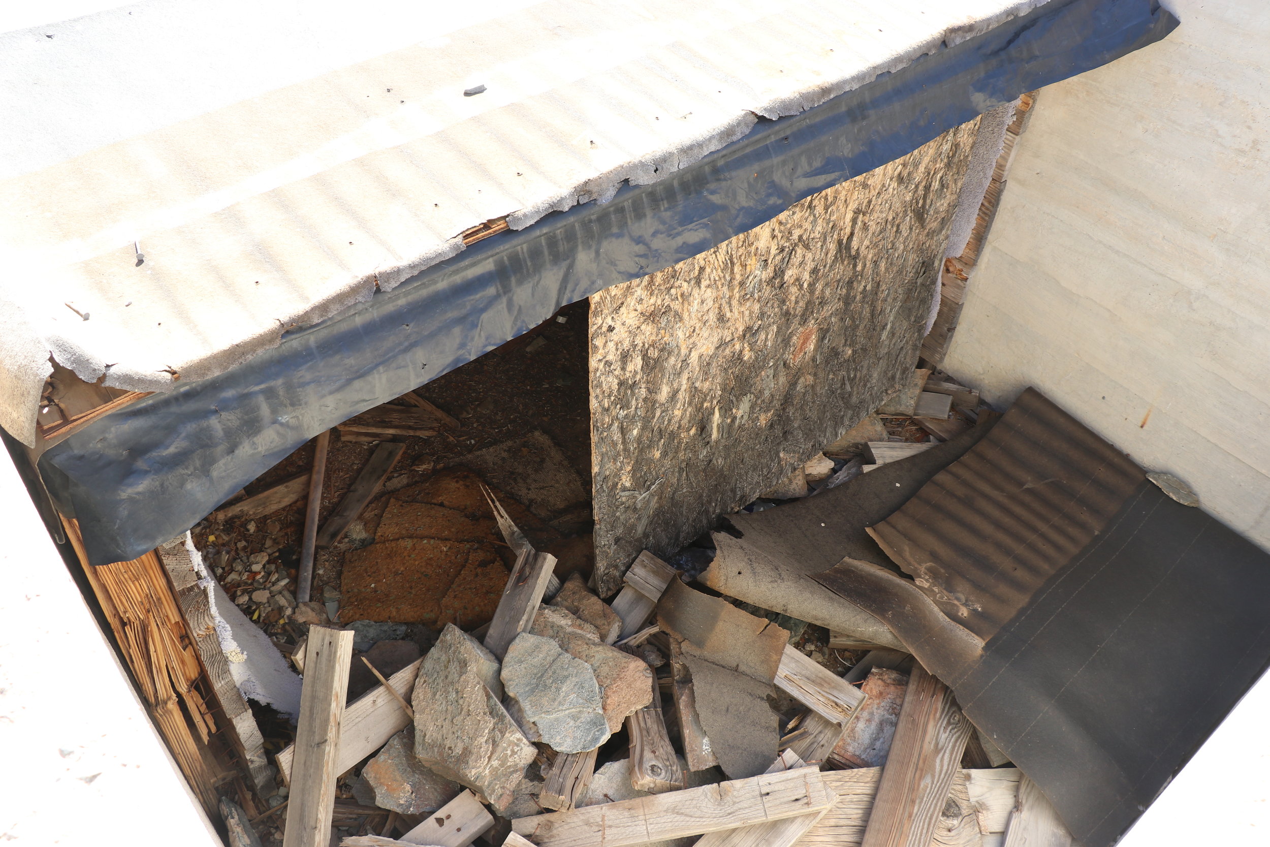
In total, close to 15 cement pads remain in varying sizes and locations around the mine property. Some have obvious purposes like the ones around the vertical shaft. A unique cistern sits higher above the main ruins and appears to be sectioned off and possibly used as some sort of explosives locker. The main shaft is well gated off. On a small hill further east of the mine appears to be the foundation of a house or dwelling, with evidence of indoor plumbing and a porch. The house would have overlooked both the mine property as well as the valley to the north, which offers a glance towards I-10 and Palo Verde in the distance. On the west side of the main hill, a small tailings pile and other prospects remain. Due to the proximity of this to the main ruins, this was likely an extension of the original workings. The area surrounding the Buckeye Copper Mine was heavily prospected with 62 registered mining claims. None, except for the Hargan Mine further to the west appear to have had any serious working.
Buckeye Copper Mine can be accessed from Agua Caliente Road off of Old Highway 80. After around 1 mile, continue south on lesser traveled roads towards the mine. About 5 miles south of the road you will find the ruins. A loop road runs around the small hill and additional roads continue south towards Woosley Peak. Past the mine is for 4x4 and high clearance vehicles only. See the Buckeye Copper Mine trail page for more directions & tracks.
Sources:
“Buckeye Mine (Buckeye Copper Mine).” Mindat.org, www.mindat.org/loc-62480.html.
“Buckeye Copper Mine.” Western Mining History, westernmininghistory.com/mine_detail/10283279/.
“Buckeye Copper Mine.” Kingsnake's Home Den, 24 Mar. 2017, prestonm.com/buckeye-copper-mine/.


