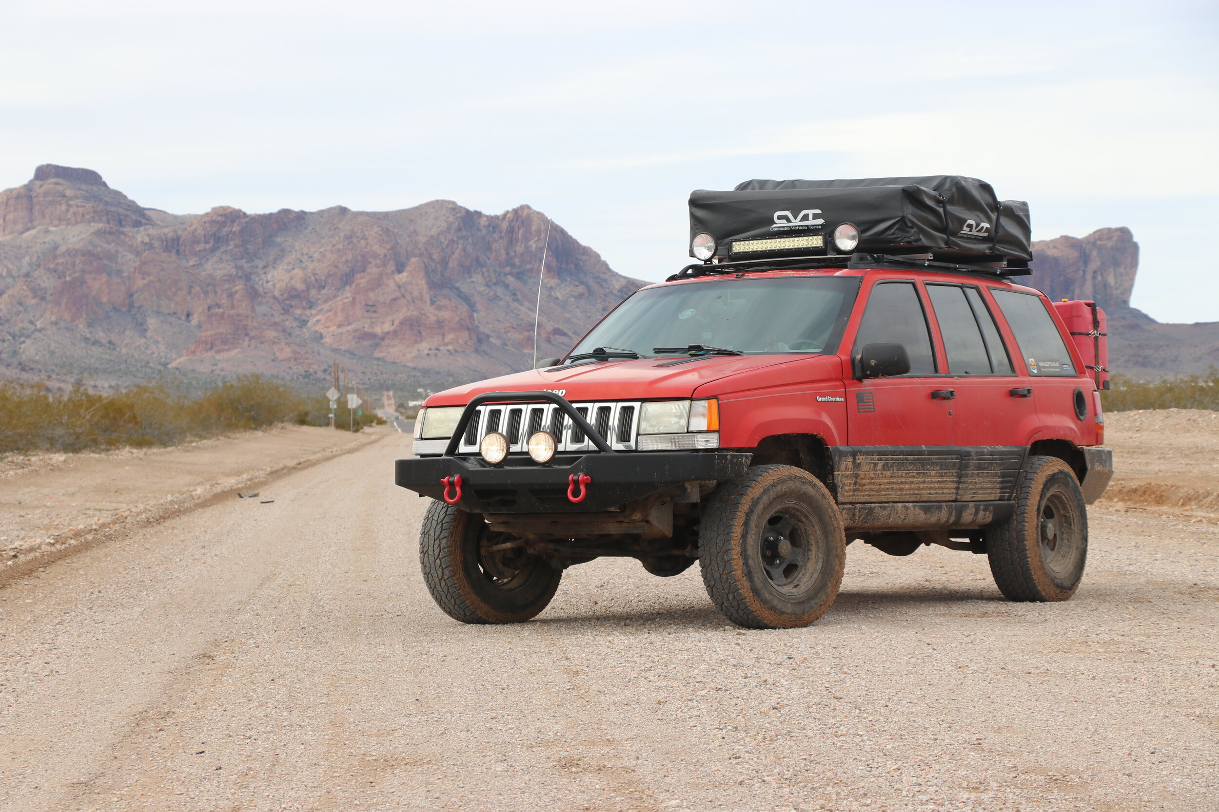
White Mountain Trip [2019]
A 6 day, 600 mile solo-trip to high elevation Eastern Arizona.
I’ll head to the easternmost part of Arizona to spend some time in the White Mountains. Known for its high elevation, cool rivers, and pristine meadows, this part of Arizona is truly one of the best and most unexpected parts of the state. Throughout this trip, I’ll be doing some 4-wheel drive exploring, taking scenic drives, and camping throughout the gorgeous Apache-Sitgreaves Forest in the area around Big Lake and west of the town of Alpine. Along the way, I’ll be treated to scenic vistas, historic homesteads & mines, and deal with some vehicle issues as I traverse over 600 miles in 6 days.
Watch the series on Youtube
Day 1:
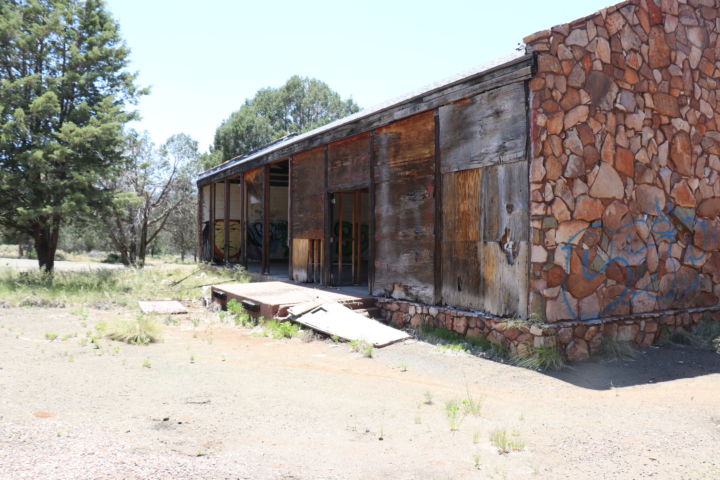
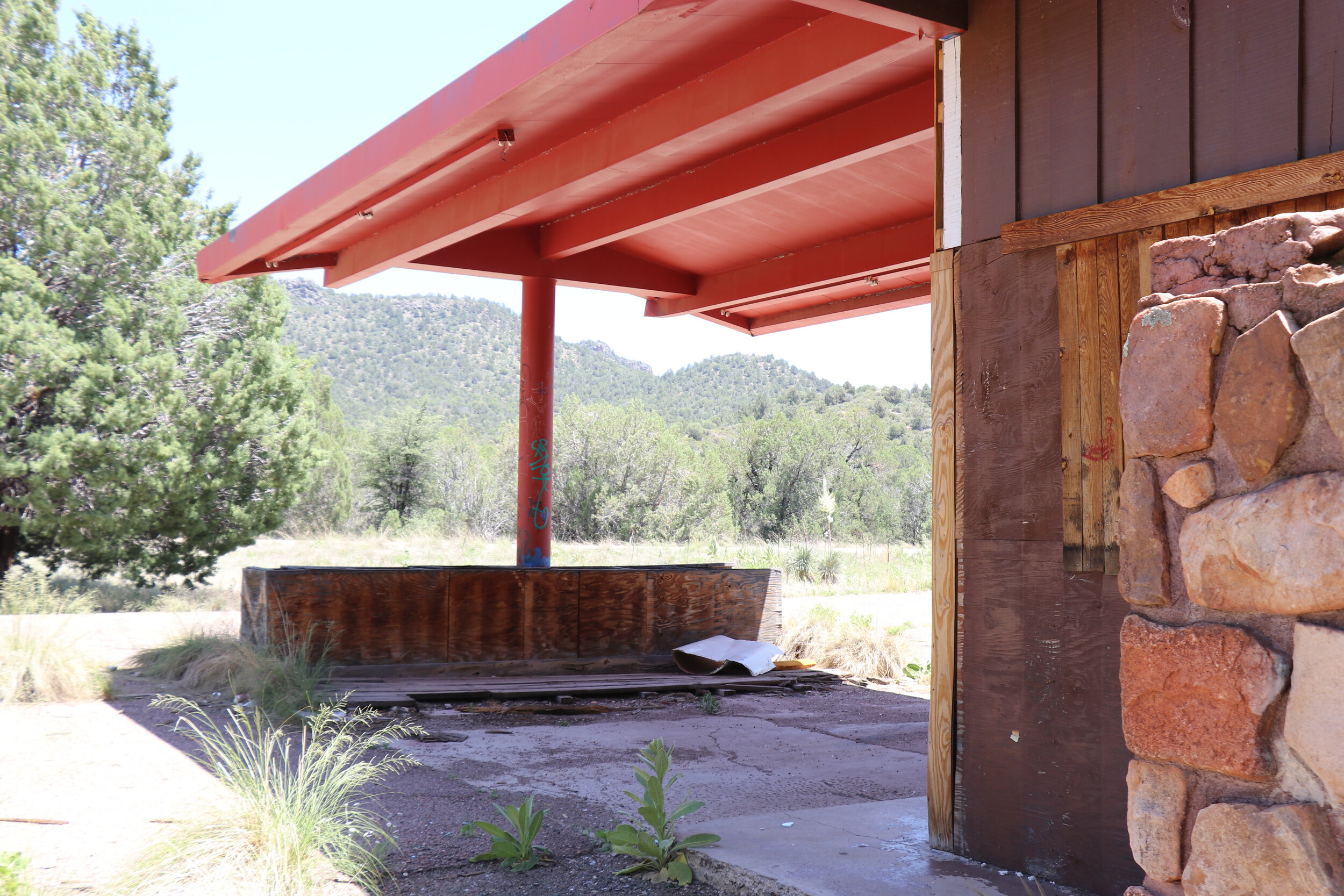
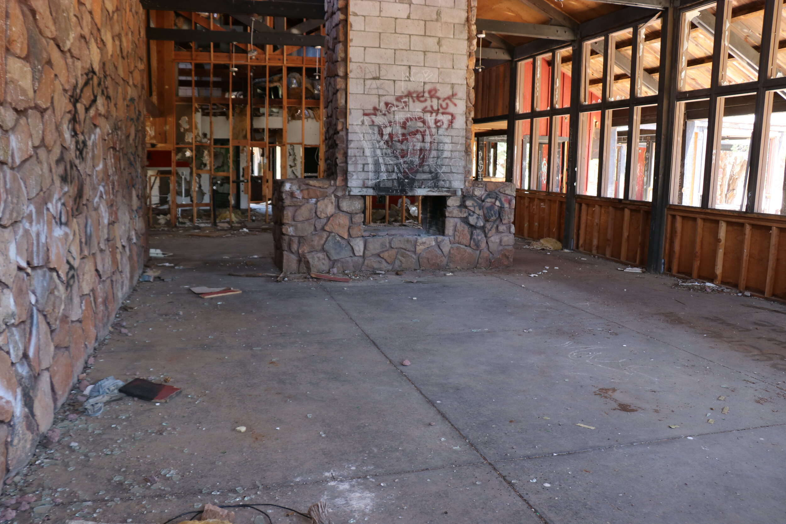
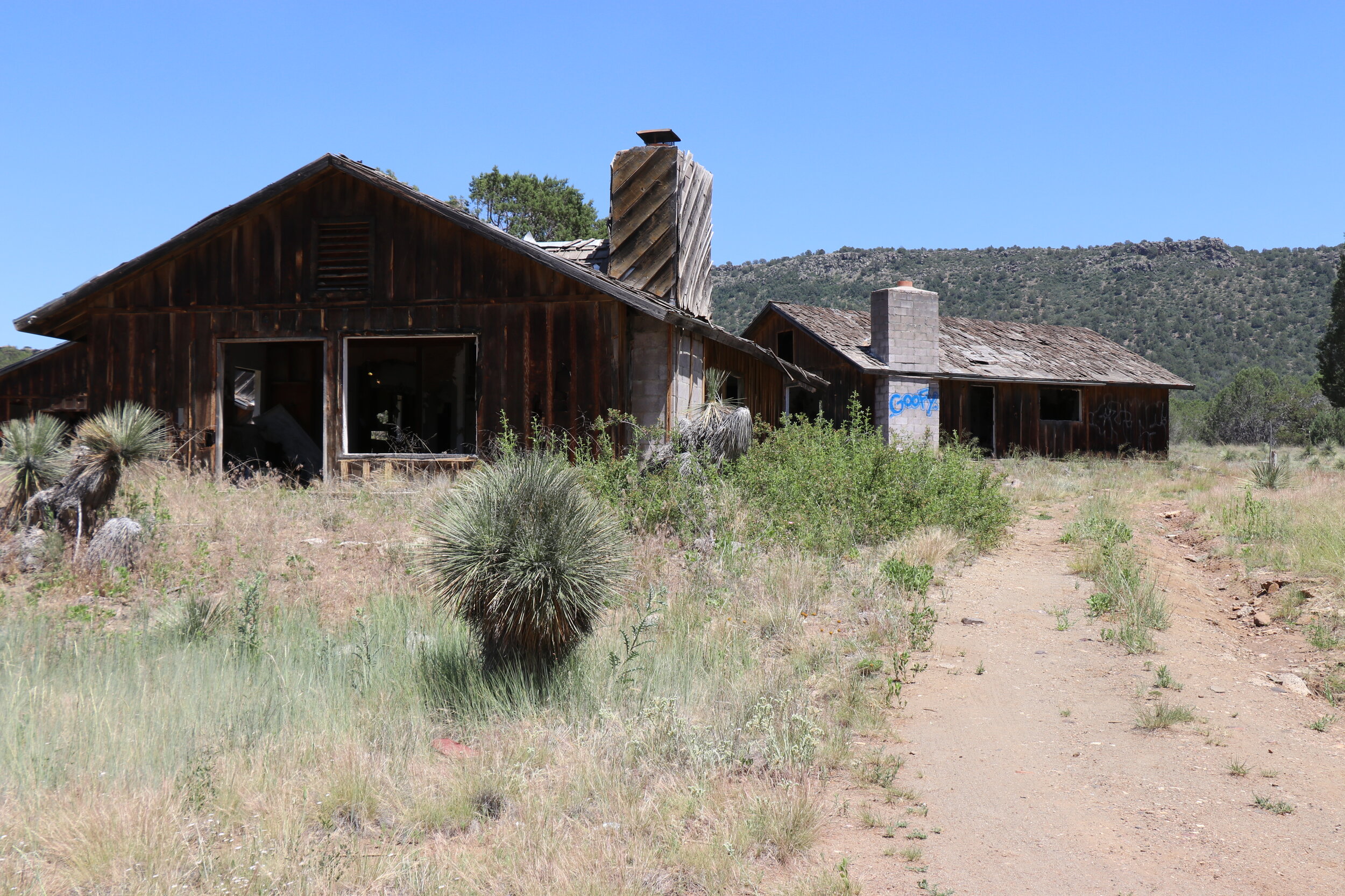
My journey began just off Highway 60 about 30 miles north of Globe and just south of Salt River Canyon. Right off the highway sits the abandoned buildings at Seneca Lake. This set of abandoned buildings are easily visible from the main thoroughfare that connects Show Low and Globe, however not many people know much about it and even fewer stop. This set of buildings were built in 1971 for around 525,000 dollars. The land is owned by the San Carlos Apache Tribe. The idea was to create a resort -- complete with a restaurant, trading post, gas station, and campground -- all located just steps away from the small but scenic Seneca Lake. Not long after completion however, the tribe defaulted on the loan that was used to build the resort, and almost as quickly as it sprung up, the buildings here were abandoned and left in a state of disrepair. It is unclear whether a lack of traffic stopping caused the failure of what was surely a nice place at one point.
Today, the buildings remain heavily graffitied and trashed. They are certainly interesting to walk through, however, an eerie feeling remains today. This quick stop however, was only the start of my side trip here at Seneca Lake. I returned to the Jeep and continued down the paved road, which soon turned to dirt just past the lake. My plan for today was to continue about eight miles down the trail to the end of the forest road, and hopefully spend some time exploring a couple of old mines near Regal Canyon, before finding a nice place to camp near the rim of Salt River Canyon. This turnoff here roughly marks the halfway point between Phoenix and the White Mountains. Having already covered around two and a half hours of highway driving today, I would be set up nicely for another two hour cruise tomorrow to make it up to the best parts of the White Mountains. Since I would be doing less than 10 miles of trail and needed to be back on the highway early tomorrow, I decided not to air down for this stretch.
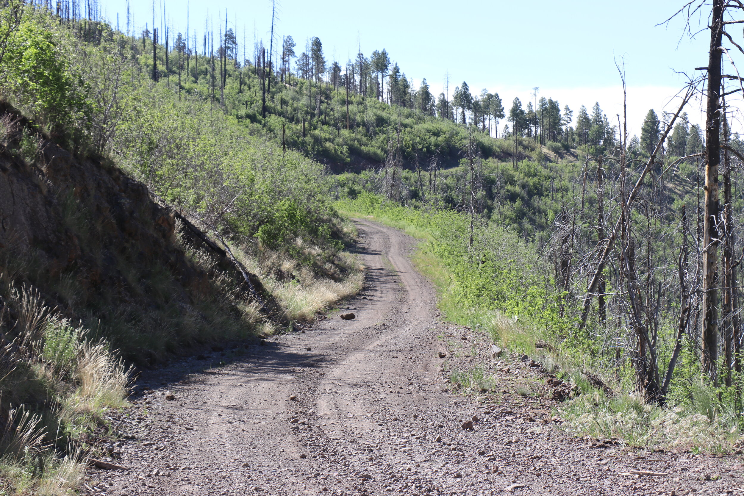
The trail skirts along the edge of Salt River Canyon with great views in many places.
Past the lake, the trail remained flat and smooth as I crossed into the Tonto National Forest. The forest here was still pretty low elevation, around 4500 feet, and smaller shrubs and trees lined the trail. Within just a couple of miles, the scenery changed. The view opened up as I approached the rim of the wide Salt River Canyon. Here, steep cliffs and hints of a few old tailings piles greeted me. It was clear I was approaching one of the two mining areas I wanted to check out today. The trail followed along the cliffs and got briefly narrower. Shortly after, the trail flattened back out and continued to the west.
Just after the three mile mark, I approached a small gated off clearing. At this clearing used to sit the remains of the Phillips Mine. Phillips Mine was a small asbestos mine -- and yes you heard that right -- a little more on that later. Several buildings sat here at one point but were apparently razed due to health and safety concerns, possibly having something to do with the asbestos material that it was built with. Since most of the mining took place further off the trail and it seemed like it was gated and fenced off pretty well, I had to continue on.
Back on the trail, the road continued to the west and slowly climbed. Eventually, things topped out at around 5,000 feet. The scenery however remained pretty flat and densely covered with trees. After a few more miles, the trail dropped down a fairly steep hill. The road was also moderately washed out in spots which reduced my pace as I continued west towards the Regal Mine. This section was quite short and was a nice change of pace from the otherwise fast-moving miles thus far.
The locked gate near Regal Canyon.
Not long after the rougher section, the road turned back smooth. It continued to drop downhill as it made a long curve to the right. Within a quarter mile of the Regal Mine ruins, I came to what has to be one of the worst things you can find along a trail in the backcountry, a locked and gated off road. Apparently, in the few years since I had been to the property, ownership had changed and access has been cut off. Unfortunately, there had been no warning along the drive in that the trail was closed so close to the mine ruins and buildings located at Regal Canyon. And with only one way in and out of the property which is located in a steep canyon, there was no easy way to get eyes on what is left today.
There was however, another way. Getting an aerial perspective of the property would allow me to at least get eyes on the property and see what was left today. And, of course, this is perfectly legal. From the air, it didn’t take long to see just how much of the Regal Mine has been relatively untouched in the years since it closed down. The Regal was first operated by the Arizona Asbestos Company in the late 1930s up until about 1945. The mine was most profitable in 1941 & 42 producing over $50,000 in ore. Around 15 people worked at the mine using diesel generators and compressors. A reliable water source had been secured, although the rugged terrain made mining efforts rather difficult. The mine shut down for a brief time before being reopened under new ownership in the mid-1950s. Up to 50 people worked the mine throughout the 1960s. Ore was hauled 30 miles from the mine site to a mill in Globe where the ore was further refined and sent off to market. The mine closed down sometime around 1970 due to the lack of high-grade ore.
An overview of an adit and tailings pile at the Regal Mine.
Looking north at Regal Canyon. Numerous buildings near the bottom.
A smaller adit located on the north edge of Regal Canyon.
Unlike other major mines throughout the state that produced, gold, silver or copper, this one is certainly unique. Now the asbestos that were mined here was found in naturally occurring serpentine and chrysotile, which is really abundant in this area. The longer fibers, while still dangerous, were used in the construction industry for things like insulation, plaster, and gas mask filters. As part of the mining process, these rocks and fibers were inevitably broken down into smaller, more dangerous pieces that required special considerations for those working in the mine at the time.Numerous structures remain on the property at the Regal today. On the south end, several different sized buildings remain. Some have collapsed over the last few years. About 5 years ago, before the property was gated, I did take a quick walk around this area and the pictures you are seeing now are of some of those buildings which appear to be some kind of house or living space. This building appears to have since collapsed. Perhaps much more impressive are the tailing piles and haulage tracks that remain near the mine adits. Located further north along the steeper walls of the canyon, these are precariously balanced with waste rock dumped down into the ravine. They appear to be in surprisingly good condition today.
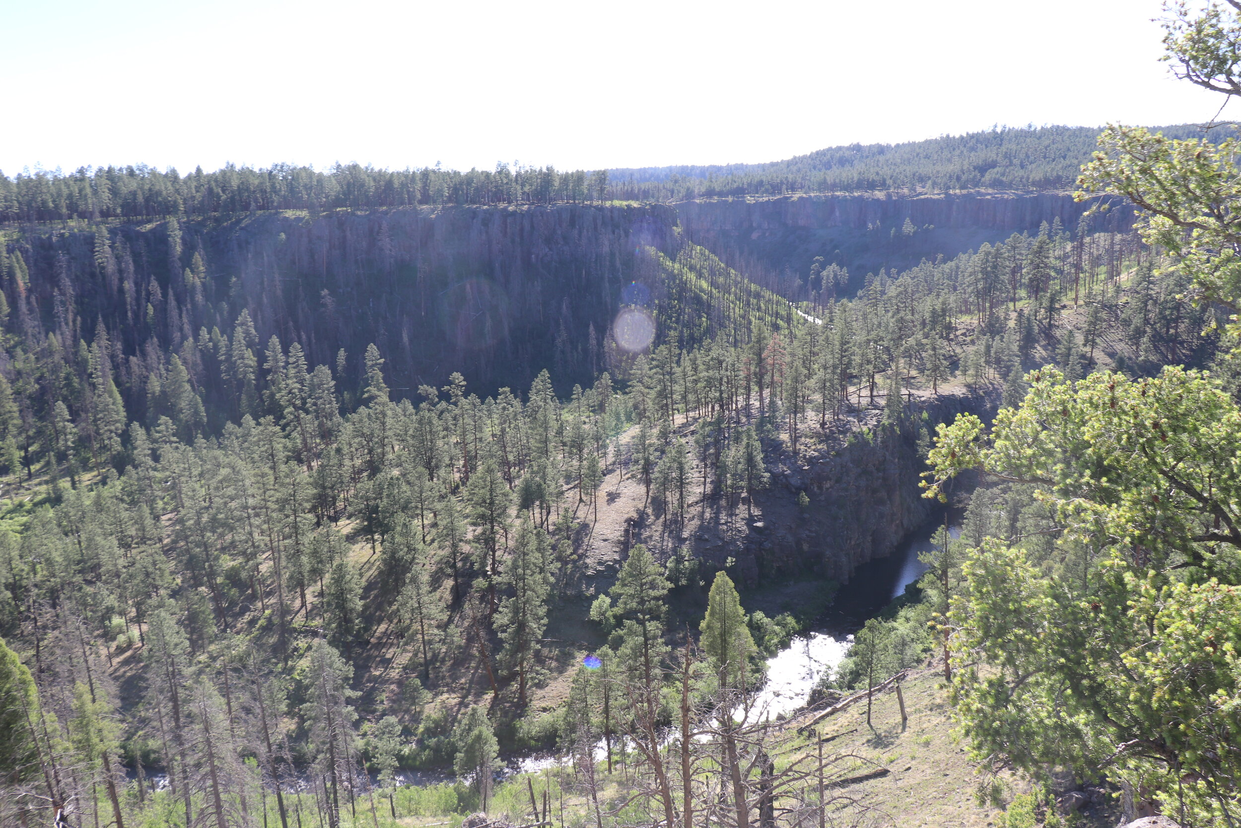
Unfortunately, this was pretty much all there is to see from this vantage point. It turns out, the mine is actually for sale and you buy it for just $230,000. I turned around on the trail and continued back up the way I came. Roughly a mile from the Regal Mine gate, I turned off the main road. The trail quickly passed through an old corral as it headed north. The plan now was to head to my planned camping area just ahead on the edge of the Salt River Canyon. The trail quickly got narrow and much rougher. Past the corral, it is clear that not many people have been on this trail. After crawling along and some Arizona pinstripping, I made it to a clearing roughly a mile later. I parked the Jeep and hopped out on foot to check out the view.
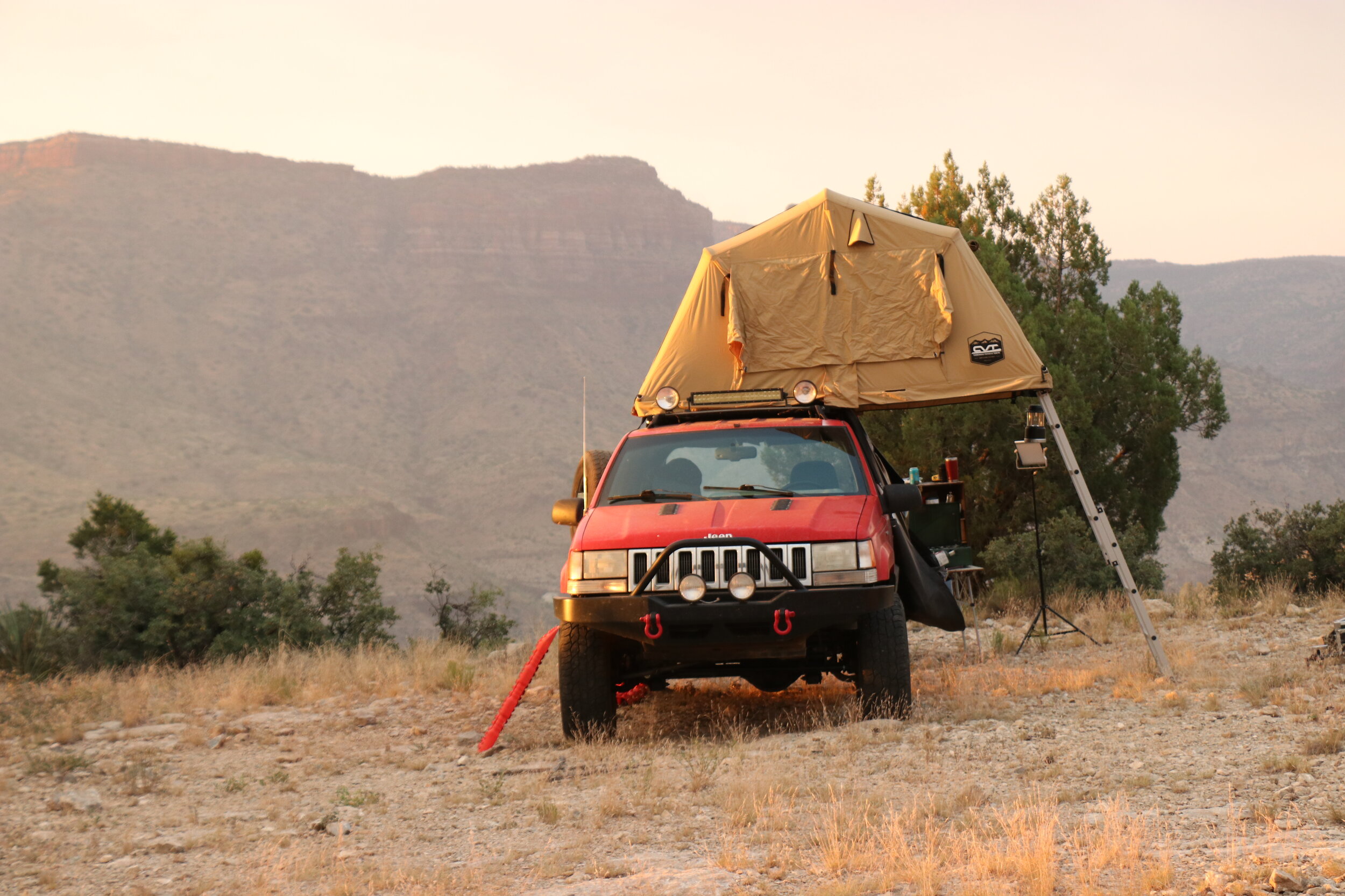
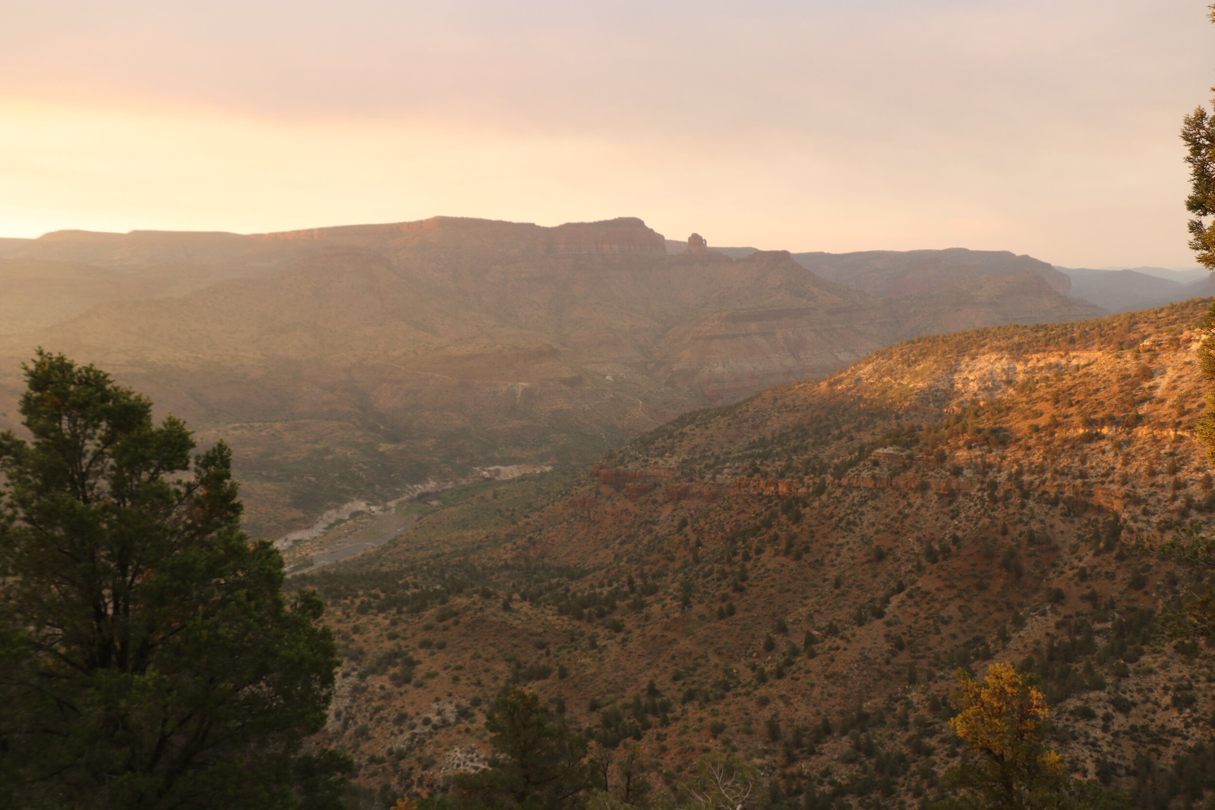
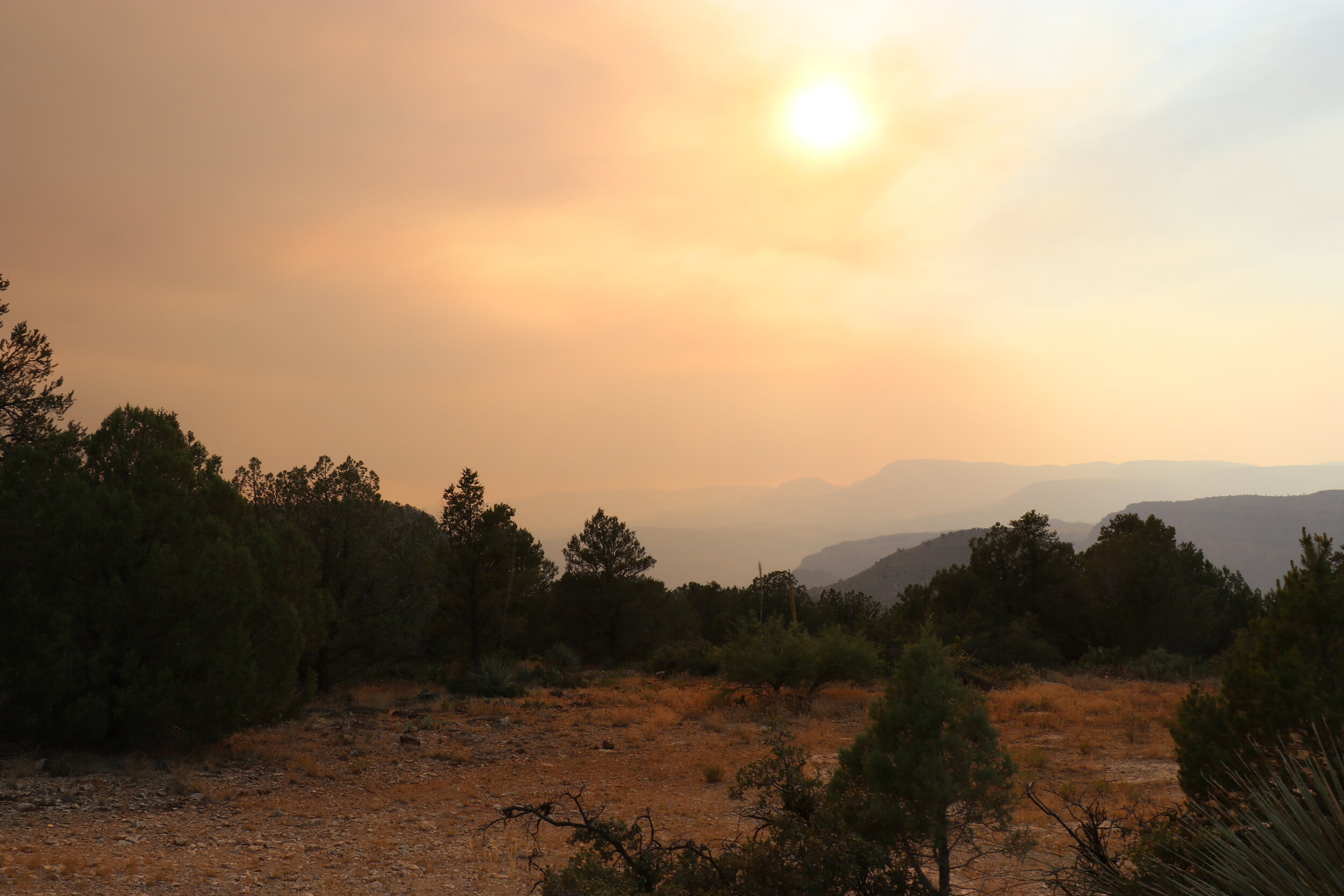
Looking down into the Salt River Canyon was nothing short of breathtaking. The river, now almost 1500 feet below my elevation, silently flowed in the distance. The towering canyon walls were also quite impressive. Just east of me were some more remnants from the Regal Mine, that I hadn’t been able to see from the main road. With a nice big cleared area and a more than okay view, I figured this was too good of a camp spot to pass up. While it was still a bit early due to the unplanned gate closure earlier, I had covered all of my planned miles for the day already. I popped open the tent and quickly got my cooking gear setup. The weather was a little warm but mild as I sat down to enjoy the view for a while. It was at this point, I couldn’t help but notice a large plume to my west. This was from the Woodbury Fire burning in the Superstition Wilderness. While I was over 50 air miles from the fire, the plume was easily visible and with the prevailing winds shifting, much of it was actually drifting this way.
First nights dinner on the edge of the Salt River Canyon.
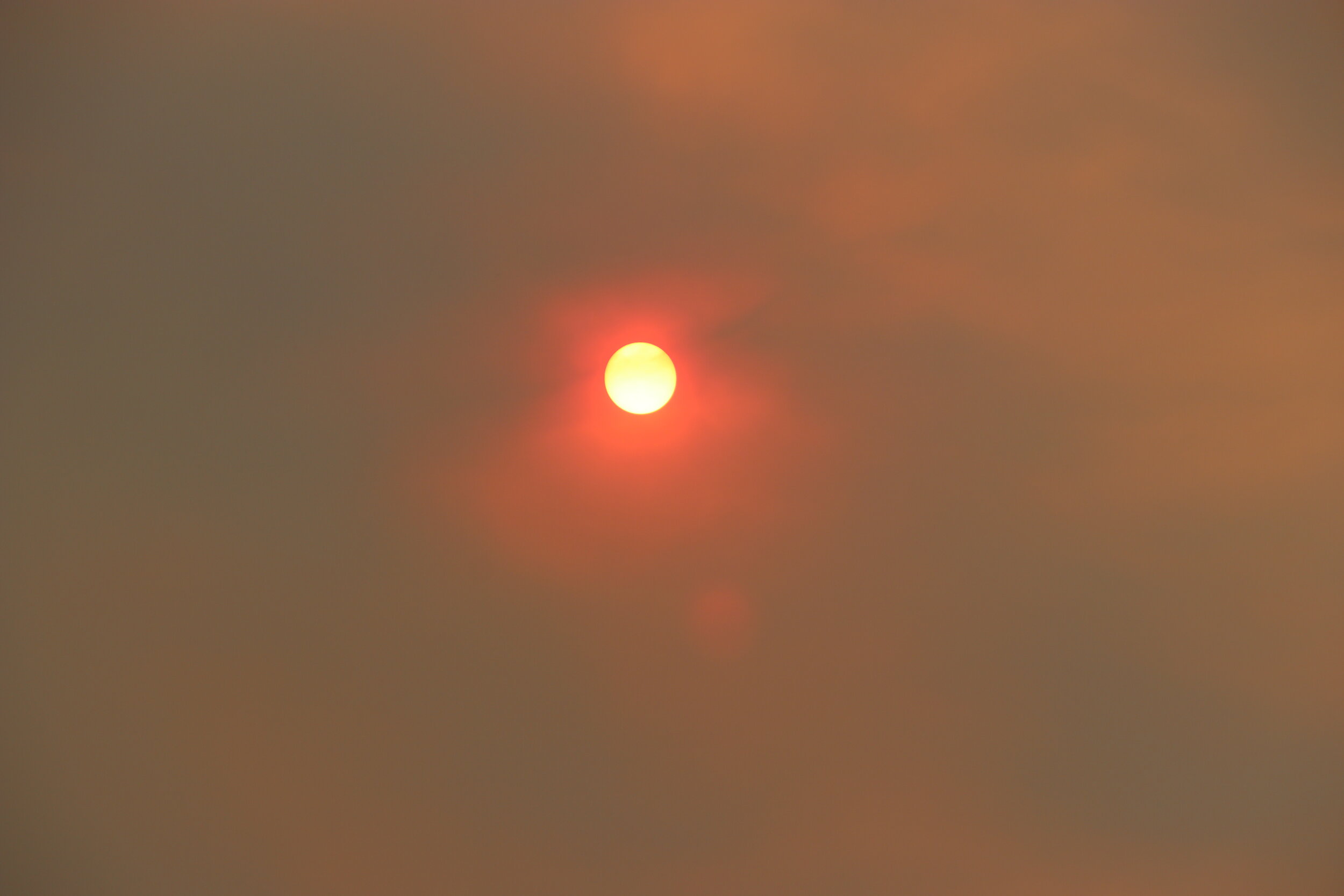
I fired up the stove and got started on an early dinner. Tonight was going to be some barbequed chicken and rice. It cooked up nice and quick and I sat down to eat with an epic view. As the evening wore on, the smoke was getting much thicker. The sun was now an eerie blood red color and a little bit of ash was even falling from the sky. While I knew I was more than a safe distance away, it was still pretty eerie. The sunset put on quite a show and the smoke filled canyon made for some real unique visuals. Not long after 8 PM, the sun was finally down and I crawled up into the tent. Today had been fairly long and I wanted to be up nice and early tomorrow morning to get a good jump on the rest of the drive up into the White Mountains.
Day 2:
Early morning on the rim of Salt River Canyon.
It was around 5:30 the next morning when I was up and around. I had slept great. The night was quiet and perfectly still and leaving all of the window screens open in the tent had been a good choice. It was actually so quiet that when I woke up this morning, I could hear the Salt River thundering below. After getting dressed I got my gear out of the tent and quickly packed it up. I wanted to get out of here early this morning. Next up was breakfast. I’d be keeping it simple this morning in order to save time. I got some water boiling for oatmeal and coffee. I’d be trying my new french press on this trip which seemed like it would be a great addition for some quick and easy caffeination.. Within minutes, breakfast was ready and I had a nice hot cup of coffee to enjoy. I quickly packed up the remaining gear into the Jeep and made sure camp was all cleaned up. By 6:45 I was completely packed up and ready to hit the trail -- which I think, may be a new record.
The still waters of Seneca Lake on my drive back to Highway 60.
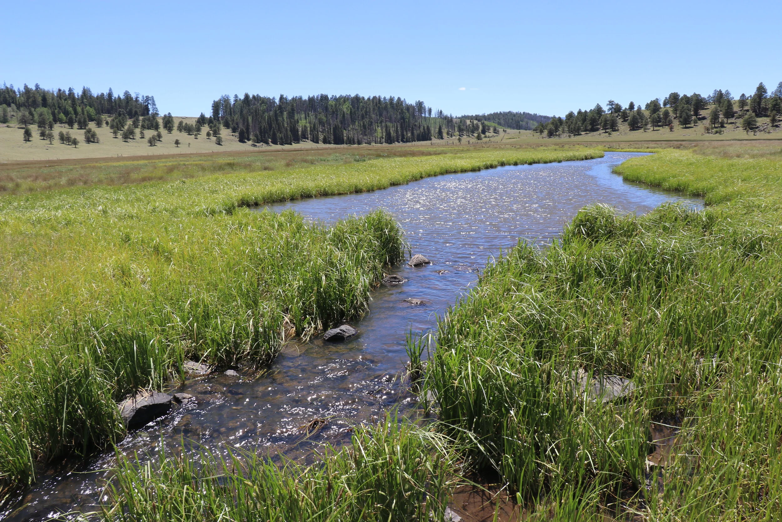
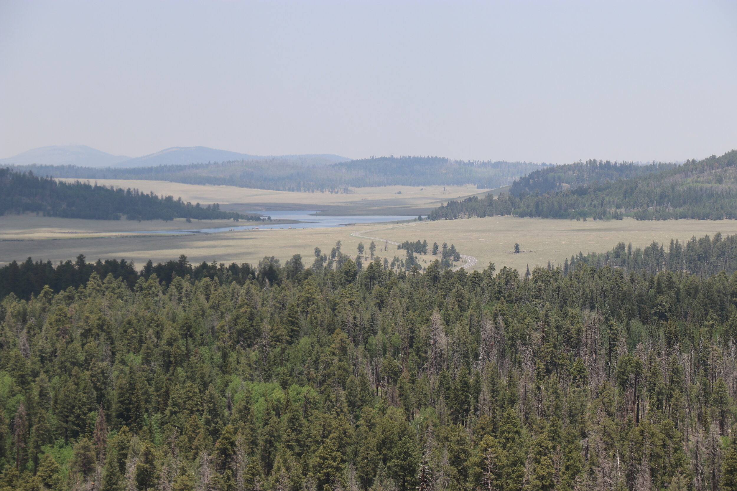
I retraced my route from yesterday as I continued south on the faint and narrow tracks. I passed through the dilapidated corral and to my surprise, a cattle trailer had just been parked there. I continued back up the washed out hill and was quickly back on smooth and fast moving forest roads. The views were impressive along the cliffs and before I knew it, I was back at the still waters of Seneca Lake. The lake has camping and fishing available, but you will need a permit to recreate on the reservation. Past the abandoned buildings at Seneca, I was soon back on Highway 60 and northbound. The road quickly drops into the scenic Salt River Canyon. The drive is stunning. On the other side of the river the road climbs towards Show Low. Within a couple of hours I was outside of Pinetop and topped off the tank and ice chest. At last, I turned south towards Big Lake and into the heart of the White Mountains. The highway here was over 8,000 feet and wide open meadows and thick forests greeted me around every bend.
Thirty minutes south of Highway 260, the highway continued to wind through meadows towards Big Lake. The elevation along this section was over 8,000 feet. I stopped off at Crescent Lake for a quick break and to grab a quick snack. Crescent Lake is one of three high-mountain lakes in the area. Despite being so close to Big Lake just a couple miles away, this spot is surprisingly secluded. Elk bugled in the distance and hundreds of vibrant blue dragonflies lined the shore line. In the distance was Mount Baldy, the second highest point in Arizona outside of the Flagstaff area. The highest sections were still covered in snow. If you’re into fishing, this would definitely be a place you want to check out.
Crescent Lake on the way to Big Lake.
The view from Big Lake Knoll.
Parked at 9,300 feet with Mount Baldy in the background.
After a quick break at Crescent Lake, I continued briefly along the paved highway. Just a few miles later, I had made it back onto dirt roads and headed south on Forest Road 24. The road was wide and washboardy, but filled with all kinds of green colors. A few miles in, I branched off the main road and turned left onto some lesser roads. Continuing east now, the trail was much narrower and bumpier. Despite it being mid-week, the area already had quite a few people camped out in the different clearings.
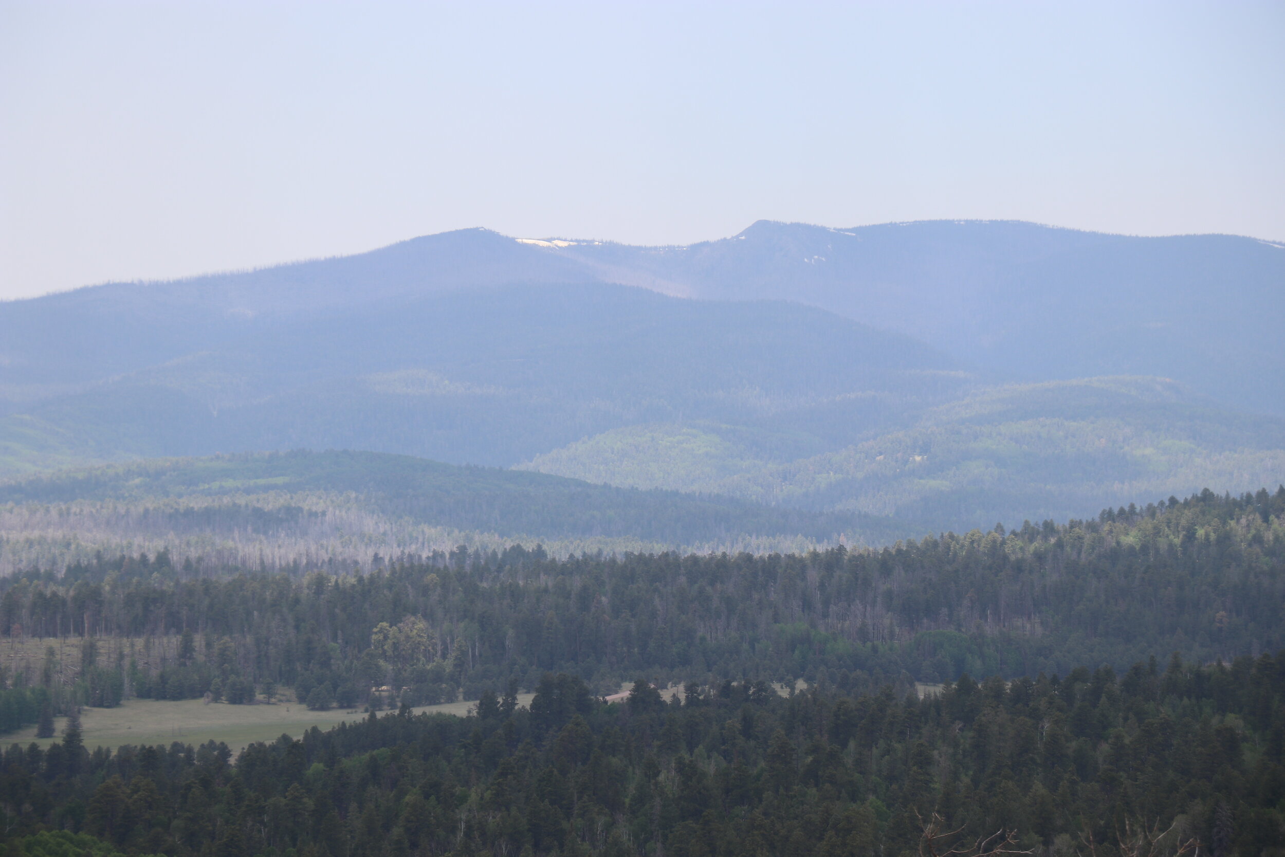
I made a hard left turn onto an even more isolated road and began to climb. This spur trail would switchback even higher into the forest as I made way up Big Lake Knoll. The trail was easy to moderate, and I shortly found myself parked at the summit. Now over 9,400 feet, the 360 degree panorama was breathtaking -- both figuratively and literally. The surrounding view offered a glimpse at the open expanse of the Apache-Sitgreaves Forest as well as the lakes I just passed, Mount Baldy to the west, and Escudilla Mountain to the east. It was here on this summit, where there was a fire tower built in 1933 by the Civilian Conservation Corps. That tower however is notably, not here anymore. The tower, and much of the surrounding area was burned by the devastating Wallow Fire that ripped through this area back in 2011. The forest is slowly recovering, however the fire damage is still extremely noticeable and would be seen throughout my entire trip. Only a few cement foundations remain today where the tower once stood.
I grabbed lunch at the summit and admired the view. The weather was cool and mild. This point, as far as I know, marks the highest I had ever driven my Jeep in the state. So that was cool. It was now after 1 o’clock, and I wanted to get back on the trail. I headed back down the mountain on the narrow trail. It was really incredible just how green this section was. At the bottom of the hill, I worked my way back to Forest Road 24 and eventually continued south.
Back on the fast-moving road, it didn’t take long for me to reach my next turnoff. The trail split and I stayed onto a lesser forest road to the right. Staying left, Forest Road 24 continues to Buffalo Crossing where it meets up with the East Fork of the Black River and other trail junctions. I’d be checking that area out in a couple days, but for now I wanted to see what was off on this side trail.
The couple of miles along this section were certainly more isolated. The road was more washed out and was more catered to high-clearance vehicles meaning it doesn’t see as much traffic. It did seem exceptionally dry along this section. The seasonal streams that can occasionally flow through here were empty and it just didn’t seem as green. Nevertheless, after only a couple of miles, the trail dumped me at Forest Road 25, just east of Buffalo Crossing. I continued to the west.
The West Fork of the Black River flows through the primitive campground.
Now back on easy and smooth forest roads, I soon passed over the West Fork of the Black River. The West Fork originates higher up in the White Mountains near Mount Baldy. I pushed west as the forest briefly thinned and I crossed through a couple of gorgeous meadows. The change of scenery was nice and the trail remained smooth as I trucked along. After a few more miles, I turned north and briefly climbed before crossing the West Fork Again. I pulled into West Fork Campground and followed it back, hoping to find a pristine spot for the night. West Fork Campground is an undeveloped area with several free sites scattered along the banks of the Black River. About half of the campground is closed, past the river crossing due to fire damage, but that’s okay because at around 3 PM, I had found the perfect spot.
My campsite for the night located just feet away from the relaxing river.
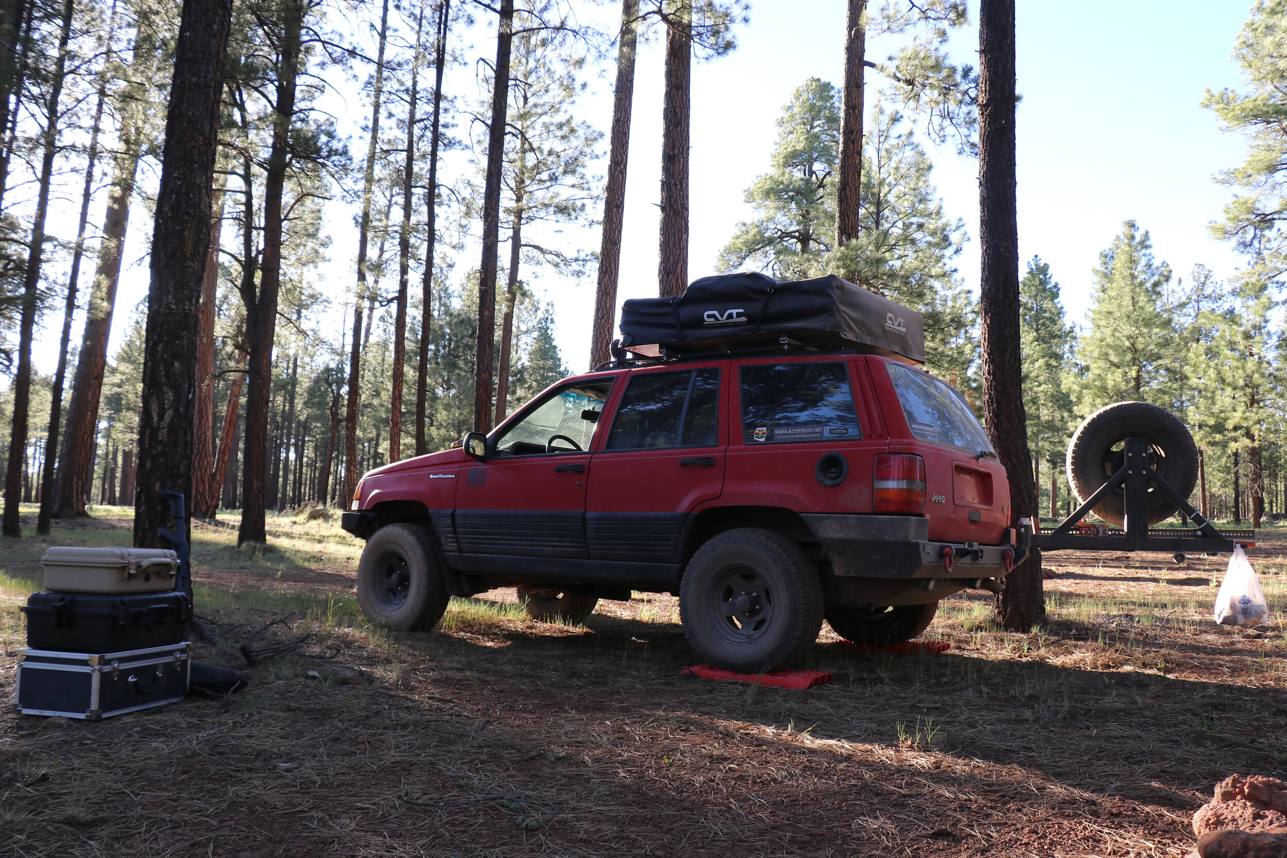
I parked the Jeep at the furthest spot, just to the right of the vehicle barricades. I was fortunate to be the only one in the campground for now. This camp site was located just feet away from the babbling river. With the river on one side and a thick, forested hill on the other, this spot was surprisingly isolated for being in a campground. I got the tent opened up and slowly worked on getting the rest of camp ready. Because it was still early in the afternoon, I was able to take it easy and enjoy the sights and sounds.
After the sun was almost down, I got to work on dinner. Tonight would be burgers, or burger, I suppose, since I was only making one. Dinner cooked up quick and was paired with a nice beer. Once it had finally gotten darker, I got to work on a fire. The fire ring was the only thing that was provided at this campsite. After getting the fire going and some whiskey poured, it was now time to relax. The crackling of the fire mixed with the river flowing nearby proved to be the perfect combo. Today had been productive, driving nearly 200 miles from my campsite north of Globe and getting into the White Mountains for a nice relaxing day. Underneath a nicely lit night sky, the fire died down and I eventually made it up into the tent around 10 o’clock. The sound of the Black River lulled me right to sleep.
Day 3:
Morning at camp near the West Fork.
After nearly eleven hours of sleep, I awoke fully rested and relaxed. I got the tent packed away and started on a late breakfast. Oatmeal was accompanied by an overeasy egg and of course, the obligatory cup of coffee. After a bite to eat, I got to work on cleaning up the rest of camp and loading the Jeep. I made sure my campfire was DEAD out thanks to a little extra help from the nearby water source. It should go without saying, but always follow the local restrictions, and no matter what, make sure your campfire is cold to the touch before leaving. In a remote place like this, a fire can, as evidenced by the past, do some serious damage.
With the Jeep loaded up and some more traffic rolling into the campground to access the river, it was time to get rolling. I drove south a few miles out of the campground and back to Forest Road 25. I turned right to continue east on the wide road. The plan for the day was to follow 25 all the way around, past Wildcat Point to its southern terminus near Hannagan Meadow. After a couple of miles, I detoured off the main road and continued south. Before continuing on with the rest of the drive, I wanted to try and find an old fire tower that’s in the area. The lookout was a little out of the way, but I figured I had the time to do a little exploring. Plus these trails were a little bit rougher so it would add a little fun to the day.
The trail meandered southeast as it passed through some sparse forest and beautiful meadows. It was really quite scenic, and there was no other traffic so far. After around a mile, I stayed left onto Forest Road 555 and continued uphill towards the lookout. The trail quickly got rougher. The surface was rocky and had seen some erosion. I kept the Jeep in 4-high as the road twisted and climbed. Things got quite steep and a little tippy. This was by far the roughest trail I had been on so far.
Eventually the trail let up as it crested the hill and arrived at the top. Not only did I find a lookout tower, but there was also a cabin and a few other structures which was a pleasant surprise. I parked the Jeep and hopped out on foot. This fire tower is called PS Knoll Lookout. It was built in 1933 and features a 50 foot tall aeromoter tower with a 7x7 foot platform at the top. The tower looked to be in incredible shape. It didn’t seem like anyone was on-duty, so I decided to climb up the tower. After several flights of stairs, I made it to the base of the tower. Unfortunately, a locked door at the top kept me from going all the way up. Nevertheless, the view from up here was pretty incredible. Located at just over 8,000 feet, this lookout offers another commanding view of the remote stretch of forest.
The cabin & lookout tower on top of P.S. Knoll.
Looking up the tower, which is locked near the top.
The view from midway up the tower.
Back on the ground, I walked around the old cabin. It was also locked, although the door looked like it had been vandalized. The inside was pretty bare and dusty. The property also had an outhouse and what appeared to be some kind of shed out back. It was quite an impressive setup. It is unclear if the lookout is still staffed today, although since everything appeared in decent shape, it could be used on an ‘as needed basis’. I returned to the Jeep and started back downhill. I carefully picked my line on the way back down.
Halfway down from the lookout, I couldn’t help but notice an unusual sound coming from outside of my Jeep. Every so often I would hear a “PSSS” sound. After further investigation, I discovered that my left front had developed some kind of leak. At this point, I couldn’t tell how bad it was, but the tire still appeared inflated -- at least for now. I bombed my way down the hill, trying to get closer to Forest Road 25. Speed did not help as the more the tire rotated, the more air it lost. Just a couple of miles later, I pulled into a clearing to assess the damage. It didn’t look too good.
My front left tire didn’t survive the drive down P.S. Knoll.
I checked the pressure and it had dropped to a whopping 4 pounds. I had been aired down since yesterday afternoon, but that was only down to about 15-18 pounds. I could have changed the tire right here and now (and I probably should have), but I figured I would air it back up and see if it would hold for a little while. I wanted to at least get further down the trail and hopefully to my intended campsite, that way I could leisurely change the tire and set up camp in the same spot. My plans to do the loop down along the forest road would have to be scratched. My intended campsite wasn’t TOO far to the east, but I wanted to get as close as I could. I aired the tire back up to 20 pounds and it seemed to be holding air. As I got rolling back to Forest Road 25, I checked the tire and it still looked alright. I continued to the east but it soon became clear that this was going to work. Every time the tire spun, it let out some air. I was forced to air up again on the side of the road as the tire had dipped back down to around 5 pounds. And this game continued over the next few miles. I’d air the tire up, then continue down the trail for roughly a mile and half, and then it’d be flat again. It happened again... and again... and eventually, I got tired of it.
Changing the tire along the trail, deep in the Apache-Sitgreaves Forest.
Parked in a nice shady spot off the busy road, I got to work on changing the tire. The first order of business was getting to my tools, which of course, were buried underneath the rear seats. Next up I had to free my spare tire. It turns out, the socket that I bought specifically FOR changing tires, didn’t actually fit the lugs on the spare. Luckily, the factory lug wrench fit, otherwise, I would have been screwed. With the Jeep still on the ground, I loosened the front lug nuts before chalking the rear wheels, and getting the jack in place. Using some wood supports, I was able to raise the Jeep up and loosen up the flat tire. From the clean spot it made on the tire, you can see roughly where my leak was coming from -- which seemed like it was right where the sidewall meets the tread. With the old tire off, I put my spare on. I put on the lugnuts and snugged them up. I also needed my locking lug key… I knew I left it around here somewhere… Ah, there it is. I lowered the Jeep back down to the ground and gave everything a final tighten. Lastly, I aired the new tire back down to trail pressure and I was ready to go.
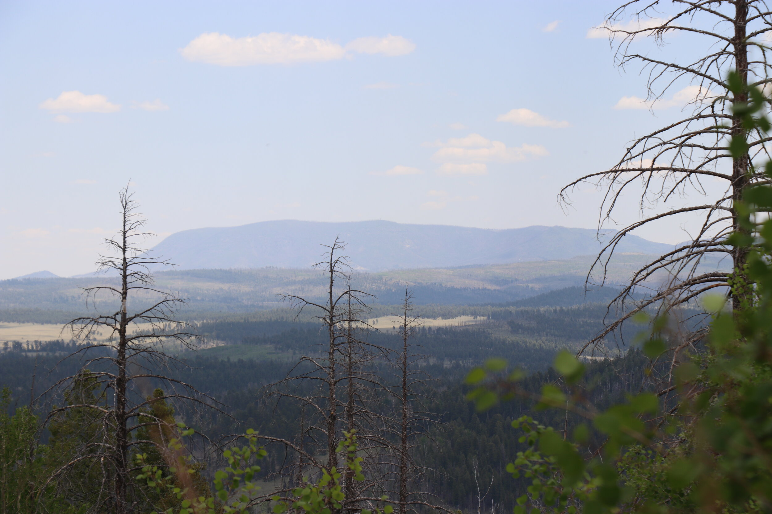
It was now around 3:30. There was still a decent amount of daylight left so I wanted to do some more exploring, but with no spare left, I would have to take a bit easier. Continuing east I soon reached Buffalo Crossing, where Forest Road 25 meets 24 at the East Fork of the Black River. Heading south from there, the views opened up in a wide meadow. The trails remained smooth. 5 miles south the road climbed sharply. Things got narrower and enters some of the worst parts of the Wallow Fire burn area. The Wallow Fire was caused by two campers and burned out of control for over a month. In all, over 530,000 acres or 800 square miles were burned. This part here saw some of the worst damage, and won’t fully recover for decades. It was really crazy to see how much the fire burned.
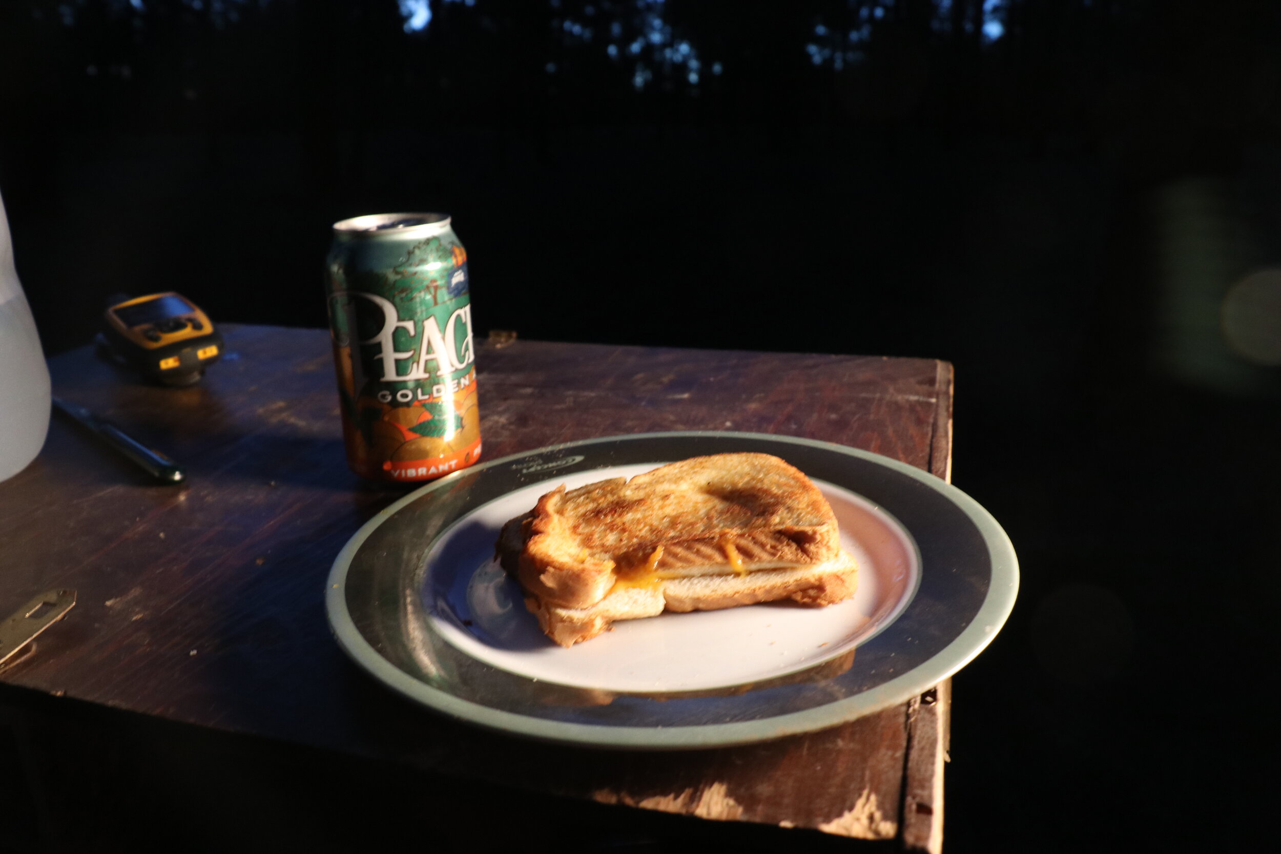
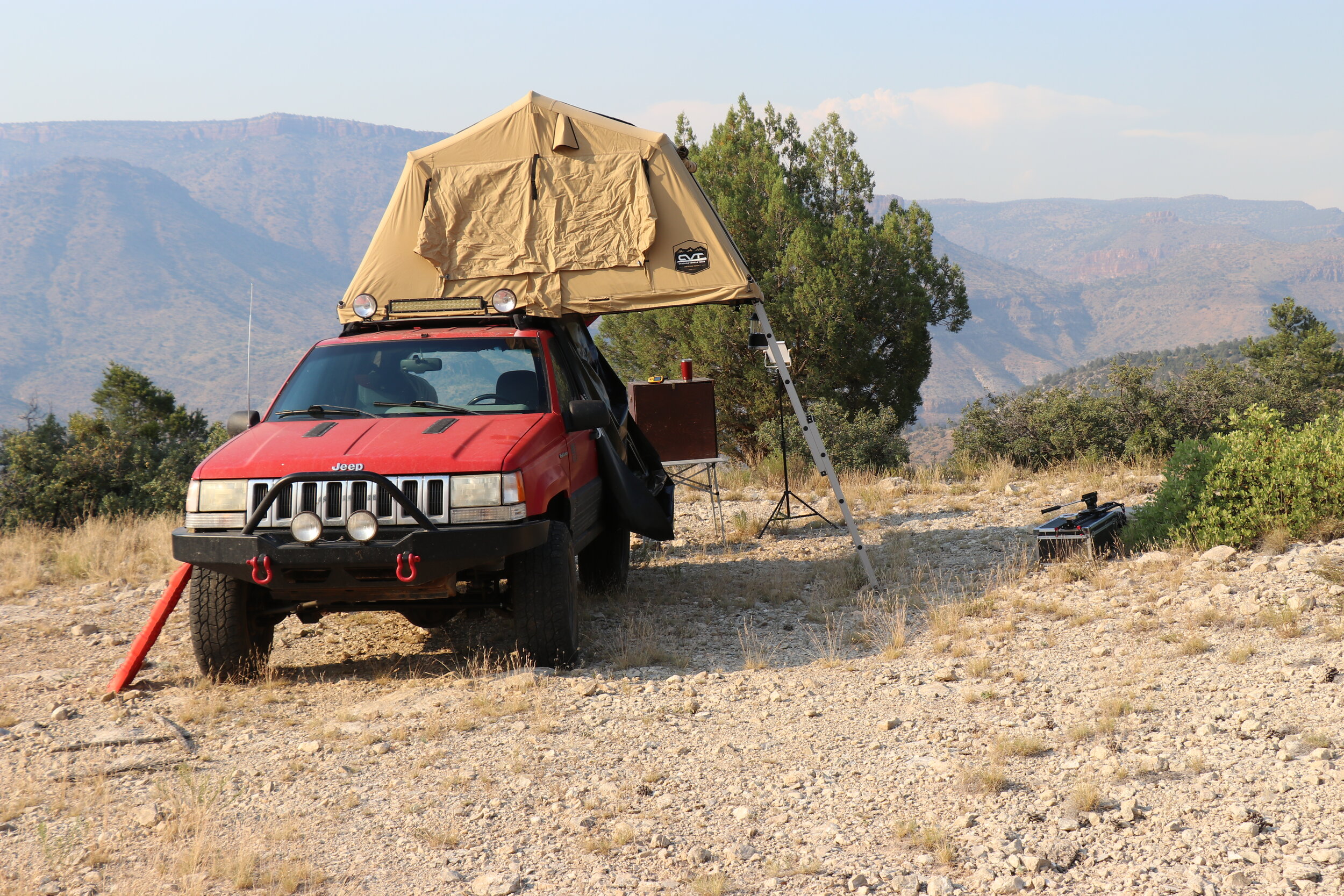
I turned around at this point and set out to find a campsite. The one I had planned had already been claimed by some other people. I did manage to find an incredible view of the Black River. This section was exceptionally rocky with steep ledges along the river banks. After retracing some of my route from earlier, I eventually settled on a nice forest camp spot not far from where I changed my tire. It was 6 o’clock and I worked on getting camp set up. I played with the tent annex a little bit, but after a while, came to the conclusion that it is too much of a hassle and adds too much time to the setup and tear down time. Dinner tonight was going to be super quick. I was tired from the day, which had turned out quite differently than planned. It was grilled cheese and beer, and it was delicious. After watching the sunset it was off to bed. Coyote howls serenaded me to sleep.
Day 4:
The next morning at around 8, I was awake and refreshed. I got some quick breakfast going which was going to be oatmeal and of course, coffee. I took a quick walk over to a nearby corral. The corral was pretty dilapidated and overgrown, but was quite extensive. At one point, a bunch of animals were stored in the different pens. Some kind of old trailer remained near the loading station. After this, I packed up camp and got ready to hit the trail once again.
The view from Forest Road 88 near Rogers Marsh.
I returned to the trail junction at Buffalo Crossing. From here, I picked up Forest Road 276. This trail follows along the East Fork of the Black River. It has numerous campgrounds and lots of traffic, so don’t expect to find any solitude along this section. But the views are something else. The road meandered uphill through a narrow canyon and at points, I was driving just feet away from the flowing river. At one of the many campgrounds, I took the opportunity to top off my water tanks before continuing on. Past the river, the road climbs out of the canyon and traverses some rather thick forest. 13 miles from Buffalo Crossing, I made it to a paved road. I stayed left briefly on the road to head north to my next trail turnoff, which was only half a mile ahead. Now back on the dirt road, I stayed north onto Forest Road 88B. I was still aired down from a couple days ago, so I was able to continue rolling into the forest. The trail continued to climb. Despite passing a large group camped out along the trail, things seemed pretty secluded. There was evidence of some road grading going on but things remained rocky and washboardy for a while.
Enjoying the view from Crosby Crossing.
Things topped out around 8800 feet as the trail passed through a wet, marsh area. Here the landscape was a rich green and puddles of water remained in the numerous tanks. The trail continued downhill as it slowly dropped in elevation. After another mile or so, I met up with Forest Road 88 and headed west. The trail along this section was downright gorgeous. Some more open views and even some elk greeted me as I passed Rogers Marsh.
The road remained mostly easy as the scenery changed yet again. This time, a large, wide meadow appeared to my left. This section wasn’t quite as green as the few miles before, but there was still some water flowing in parts. The wind had picked up through this section. Off on the left was the ruins of another remote corral. This one however was unique, and seemed to be built completely of wooden posts. 5 miles from my last trail junction, I came to another trail intersection. My planned route would be taking me to the right and further north, however, I had to check out something to the left.
Just to the south, I stopped at Crosby Spring. Located in the lowest part of the wide meadow, a small stream flows underneath the road. And the view, well it was incredible -- like something out of a postcard. Even though it was windy, a slight trickle of water made for a nice relaxing spot. I decided to grab some lunch here and enjoy the view. It was just too good to pass up.
Once back on the trail, I continued north. The trail wound through some dense forest as it resumed climbing. The forest gave way to rolling grasslands. The road became extremely smooth along this section as it reached over 9300 feet in elevation. The wind gusted strongly. Rolling hills and the upper reaches of Mount Baldy peaked above the horizon. A miles further north, the trail had reentered the forest. Along a side trail, I reached my destination -- an old homestead. Unfortunately there is nothing that I could find published on this site. There were a decent amount of ruins that hadn’t been claimed by nature. A fireplace, shed, numerous fences, and other random pieces lay on the grassy floor. It seemed like a nice place at some point. I can only the lifestyle that the owners lived here in this remote pocket of land. It seems remote nowadays, but really had to be on your own when this place was functioning.
On the trail near Crosby Crossing.
Numerous remains at an old homestead.
Dinner on Day 4 consisted of spaghetti & a beer.
By 4, I had left the homestead site and explored the area a little further. The forest roads cross the Saffel OHV Loop, which seems like a would have been a great ride if I had my ATV with me. After making it nearly to Eager, I headed back south to find camp for the night. Today was extremely windy, so I would need to find a spot relatively tucked away in order to stay warm. I crossed back over my favorite spot near Crosby Spring, and eventually found a secluded spot near an aspen grove. It was a great little spot. There were no big views, but the shade and relative quietness was nice.
Once camp was setup, I began on dinner. Tonight would be something a little different. After some water was boiled, I got the spaghetti going. With the sauce warmed up and the noodles buttered, dinner was ready in no time. Sometimes, it's the simple meals, or the ones you wouldn't think about making, that can really be great when you’re out camping. With dinner done, I enjoyed the sunset. Not long after, I found myself back up in the tent and ready to hit the hay.
Day 5:
A scenic valley near Crosby Crossing.
The next morning, I was slow to get up and around. The surrounding forest had kept my campsite pretty well in the shade for most of the morning. I didn’t really have a set plan for today. I was considering staying the night in the same spot. I got working on a little more involved breakfast. It wasn’t very healthy, but it did taste pretty good. The next few hours were spent lounging around camp. It was kind of nice to do absolutely nothing.
After sitting around camp for a while, I eventually got bored. So, I decided to pack it up to try and find a different spot, more secluded spot. I continued back north and eventually passed back over Crosby Spring. Eventually, I made it back to Forest Road 88, where I had spent some time driving down yesterday. This trail proved to be one of the more scenic in the White Mountains so far, so I felt confident I could find a good spot somewhere along its length.
The final night’s campsite was perhaps the most remote.
Within a couple of miles of easy cruising, I pulled off the main road and quickly found the perfect spot. This shady spot would be perfect for my last night of camp. It was fairly level and had a slightly overgrown fire ring. I got the tent opened up for the last time, and got my gear in place. A quick walk around revealed that this area was much more scenic than my last campsite. A lush green meadow was located a quick walk away from my camp. I was glad I had packed it up and headed for this area. The elevation in this area was around 9000 feet, but luckily, the weather was mild and not overly windy.
Back at camp, it was dinner time. I fired up the stove and got some chicken warmed and seasoned up. Next up, it was time for a tortilla and cheese. Tonight would be chicken quesadillas -- another simple staple. With the cheese melted and paired in what can only be described as the perfect combo, I sat down to enjoy. It was absolutely delicious. So good in fact, I had to make another. With darkness creeping in, I dug the fire pit out. Although the ground was fairly wet in this area, I was eventually able to get a campfire started. The surrounding area showed evidence of wildfire, so I would be keeping things small and under control. I sipped on some more whiskey as I sat to enjoy my last night in the White Mountains. After things simmered down, I retreated to the tent. It was fairly chilly, but I managed to bundle up inside the tent.
Day 6:
The next morning, I was up at a decent time. I had a long highway drive back home today plus some additional forest roads to cover, so I would need to get rolling soon. I got a simple breakfast prepared and enjoyed the view. With dishes washed and camp packed up, I was soon back on the trail. I had around 5 miles to cover before reaching paved roads. The drive out was easy but scenic, and featured more rolling meadows. Eventually, I made it to Highway 261. I had been aired down for 4 days, so I had to air up before hitting the highway. Of course, at over 9,000 feet, this takes a little more time than normal. I was soon back on the road, and on my way back to Phoenix.
This trip had been incredible. While a little bit different, and a little slower paced, it had been great to relax and take in the scenery in one of the best places in Arizona. While some things were unplanned -- the weather had been great, the trails were fantastic, and my 6 day adventure had absolutely flown by. From some rough spots and an old mine in Tonto National Forest to high elevation lookouts and meadows in the White Mountains, I was glad to have returned to Eastern Arizona for this trip. I would highly recommend you check the area out if you get the chance.