Watson Road/White Tanks
Difficulty Ratings Vary
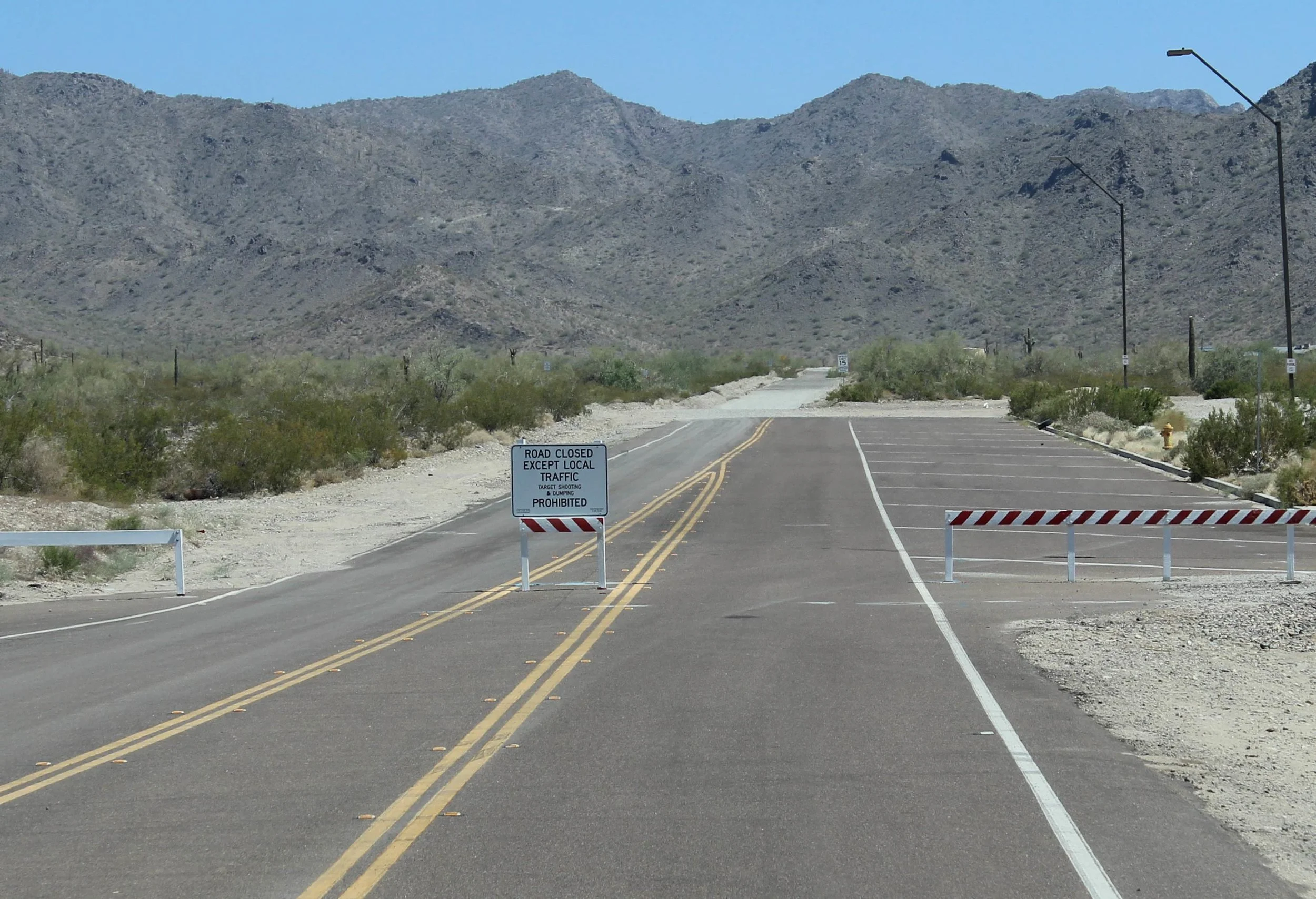
Watson Road was a fun and close place to ride that provided access to the many trails in the southern White Tank Mountains. The rocky trails wind through the mountains and offer nice views. Permanently closed for new regional park. See below.
***PLEASE NOTE***: The new Skyline Regional Park operated by the City of Buckeye is now open. Off-roading and shooting is not permitted within park boundaries. The following information is provided for reference/historical use.
Where to go:
Begin by heading west on I-10 from Loop 101 interchange in the West Valley. After 16 miles, take exit 117 (Watson Rd.) and turn right. Continue for 1.3 miles. As the road turns right, it enters private property, continue straight or left from here to be safe. Staging is straight ahead as the main road turns right.
Trail Description:
Because of the massive amount of trails in this region, it is hard to map and describe each one. Many go by different local names than what we have called them. We will be using the “T” as Watson Road turns right as a central reference point.
1) North & East Loop [3] CLOSED: from the dunes, head northeast uphill. After 0.6 miles, you’ll have a nice vantage point of the surrounding area. Head downhill as the trail heads east. At 1.3 mile, you’ll come to a T. If you were to head left, the trail would head north through the mountains and then emerge near the old Caterpillar Proving Ground. You can take this way or head right to loop back to the dune area. At 2.0 miles, you’ll reach McDowell Rd. Again, you have a choice here – you can go right to return to the staging area or turn left for more trails. If you do go left, at 2.7 miles you’ll reach a large, wide flat strip. Beware of private property signs, the land in this area is developing – turn right. After this quick moving portion of the trail, at 5.1 miles, merge back onto Watson Rd. and head north. At 6.5 miles, you’ll arrive back at the staging area.
2) Central Pass Trail [6-7]: Head northwest where Watson Road turns right. Stay on the main trail meanwhile several trails branch off at 1.4 miles. At 1.8 miles, the trail comes to a Y, stay right. You’ll pass through a dry creek and then the trail will begin becoming narrower and rockier as it heads northward. At 3.1 miles, the trail crosses a creek and becomes gets rockier as it leaves the creek. From this point, the trail becomes get significantly rockier. You’ll pass a large rocky hill that is on the right and then the trail splits and heads uphill at 3.3 miles. Left is slightly easier than the right portion however, they both meet at a clearing. Use extreme caution as the trail continues to climb and narrow towards the pass. At 3.7 miles, you’ll reach the pass, which offers tremendous views of the White Tank Mountains as well as the Valley. You can turn around at this point (probably the best option) or continue downhill for an additional 1.5 miles before it dead ends at 5.2 miles and enters private property. For even more challenge, you can return to the base of the large hill and follow the rough trail west – it will go up and over the mountain and then rejoin with trail #3 listed below.


3) Western Pass Trail [4-5]: like trail #2 above, you will proceed northwest from the staging area (just north of where Watson Road turns right). However, at 1.8 miles when you come to a Y, stay left. This way will take you through the White Tanks to the west side of the mountains where even more trails can be ridden. Stay left at 2.8 miles where a series of trails branch right (and eventually connect with trail #2). You’ll pass through a wash at 2.9 miles and then at 3.0 miles you have the choice to either stay straight up the steep hill or take the left trail for an easier trail. The trail continues to wind in a westerly direction as it heads through the White Tanks. At 4.6 miles the trail forks – right leads to Sun Valley Freeway, left heads south and then southeast back towards I-10. You can take any of these trails to ride more or turn around like we did.
Notes & Trail Ratings:
The vast number of trails in this area makes it easy to spend the entire day out. However, by sticking to these major trails, allow for about 3 to 4 hours to explore. The ratings vary depending on which trail you take, but the terrain – and scenery for that matter – remain relatively the same. Rocky narrow mountain trails are abundant. Because of the close location to a housing development, be respectful and always follow marked signs. This area is definitely a fun and close place to go riding!