

Southern AZ Expedition | 5/2011
Our first adventure down south takes us to Tombstone, Bisbee, and Cochise Stronghold
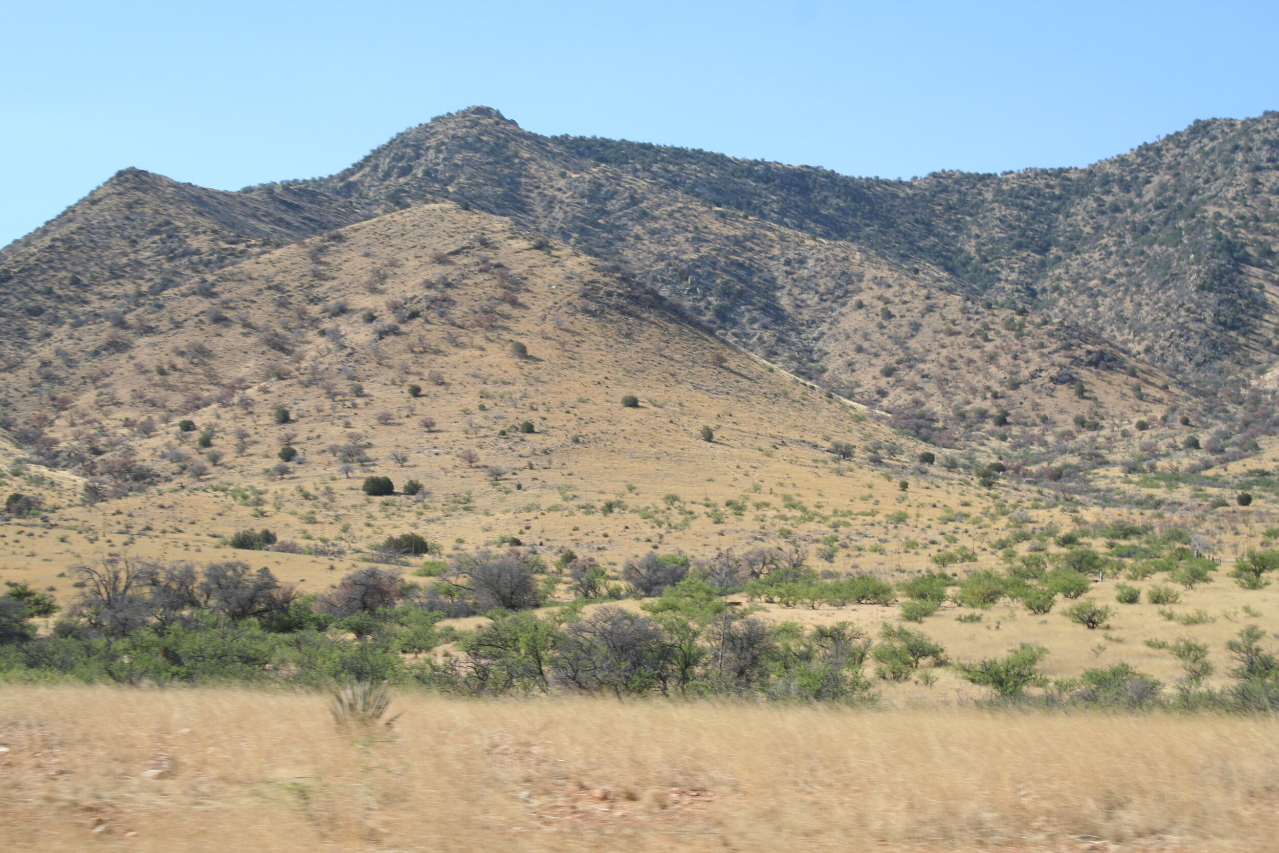
Heading south past Picacho Peak.
It was a cool summer morning when Scotty, Daniel, & Bill departed for yet another action-packed journey around Arizona. This time however, we would be exploring southern Arizona - including Tombstone, Bisbee, Tucson, and Cochise Stronghold to name a few. This multi-day excursion like the one described below is definitely at a fairly aggressive pace. When you take this trip, consider adding stops of your own or spending more time at a place you like. For a longer, slower paced offroad trip through this area, see our 2018 Southeastern Arizona Special.
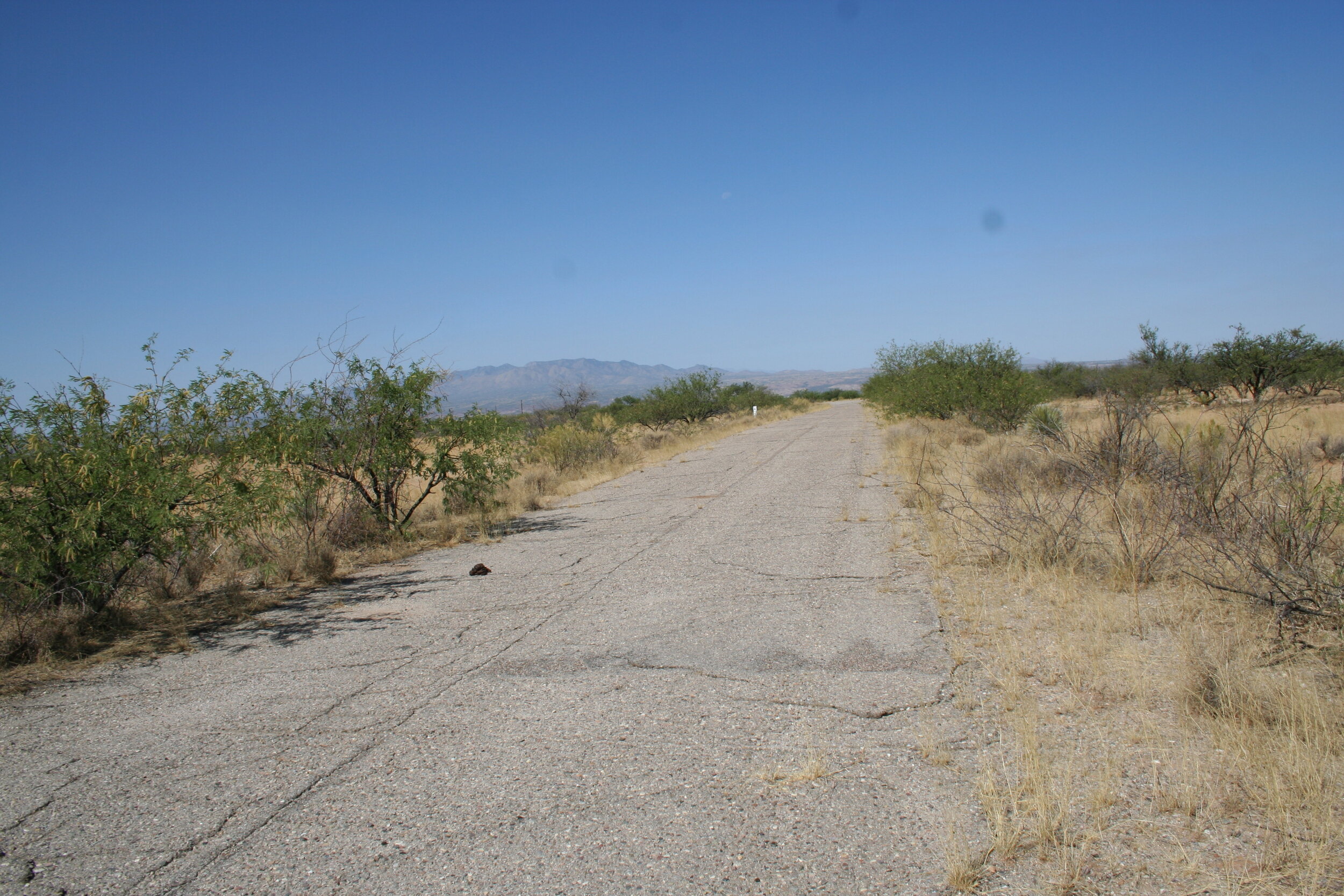
One of the fuel hardstands at 571-2, now on private property.
Day 1:
It was about 6:30 A.M. on a Saturday morning when we left Avondale. We hit the highway - I-10 - and followed it east through Phoenix, bound for Tucson. After a quick stop for breakfast on the outskirts of town, we headed in a south-easterly direction. We passed the historic Picacho Peak, home to the westernmost Civil War battle, as well as orchards of Pistachios as we neared Tucson. It was about an hour and a half drive and we arrived at about 8:30 A.M.
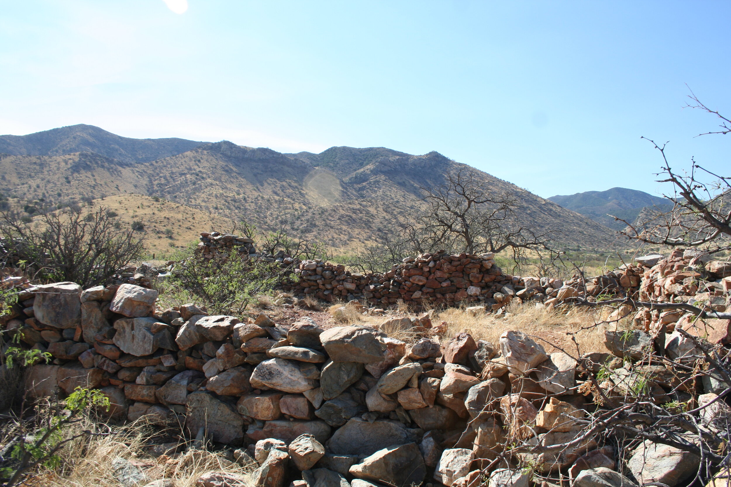
Our first destination was 40 miles outside of Tucson. We headed east on I-10 and just outside of Benson, we stopped at an old Titan II missile silo, sitting on the aptly named, Titan Drive. 18 silos lie all around southern Arizona during the Cold War (18 more lie in each Kansas and Arkansas) - 17 of the 18 silos in Arizona were destroyed, only one was spared (571-7). The silo we stopped at was known as 571-2 and showed little signs of a silo. A few cement hard stands and pads were all that were left. This silo, and most other abandoned ones around Arizona are on private property – so be sure to contact the land owner for permission first.
After about a half an hour, we continued south on Highway 90 and 10 miles later, we pulled into the entrance for Kartchner Caverns State Park. Kartchner Caverns is without a doubt one of the neatest caves you can explore. Make sure to book your tours well in advance and make sure to arrive at the state park in plenty of time. They have a museum and a gift shop you can check out while you wait for your tour. Today, we’d be going on the Rotunda/Throne Room tour which would take us a half mile deep into the mountain. Unfortunately, due to the cave’s delicate environment, no personal items (including cameras) are allowed in. It is worth it though. We took a tram up to the entrance of the cave, passed through a special air tight series of doors, and stepped into the cave. You are met by a drop in temperature and nearly 100% humidity.
Kartchner Caverns. Unfortunately, no photos are allowed inside the caves.
The cave was discovered in 1974 but the geological forces behind the cave date back 330 million years! To this day Kartchner Caverns is still “living”, meaning that the forces of nature, mainly water, are still at work sculpting and shaping the cave. The tour will last an hour and a half and take you past remarkable natural features in the cave. On our tour, we saw numerous stalagmites and stalactites, the world’s largest “soda straw”, and most impressively, the tallest and most massive column in Arizona, Kubla Khan. After being wowed and just how impressive and unique the tour was, we hiked our way back out and were shuttled back to the visitors center. We were lucky enough to see one of the caves discovers as we headed back into the visitor center.
It was 12:30 P.M. by the time we left Kartchner Caverns. We headed south on AZ-90 and then east on AZ-82. After 25 minutes, we crossed over the San Pedro River and made our third stop of the day at Fairbank. Fairbanks is a small ghost town preserved by the BLM. It is just one in a series of other ghost towns that line the San Pedro River – others being Contention City, and Millville to name a few. Fairbanks has a few old buildings you can walk around and explore and even has a small gift shop. For a more detailed history of Fairbank, click the link above.
The ruins of the Post Office at Fairbank.
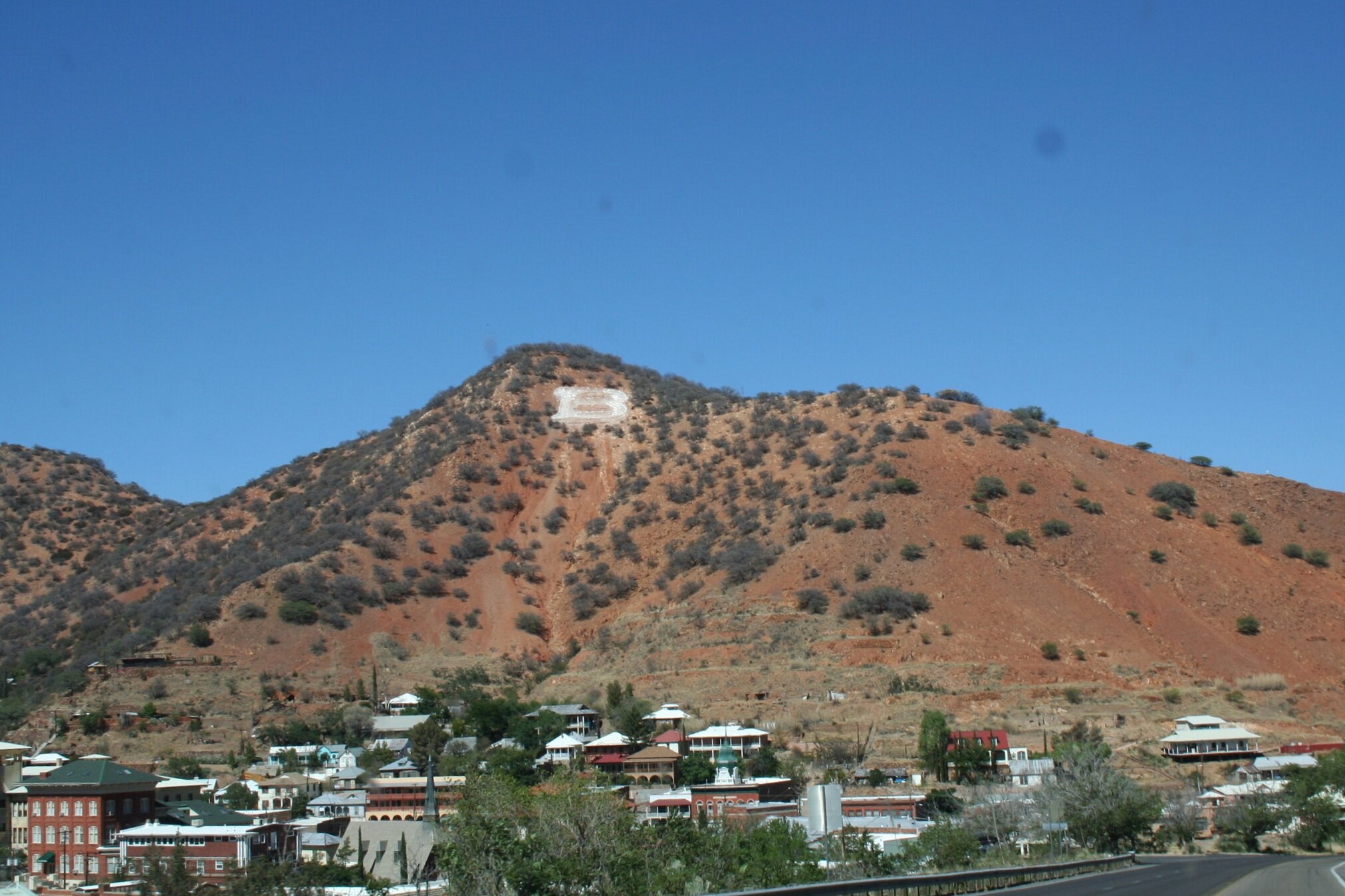
After Fairbanks, we continued an additional 10 minutes south-east to one of the best boom towns Arizona has to offer, Tombstone. Known as the “town too tough to die”, Tombstone really portrays the Old West well. With authentic mine tours, gun re-enactments, and plenty of restaurants and gift shops to keep even the avid shopper busy, it’s pretty modernized too. Since we had been to Tombstone Courthouse State Historic Park and been on the Good Enough Mine Tour before, we decided to pass on these two attractions in favor of seeing new things. Our first stop was at the historic Boot Hill Cemetery just north of town. The “victims” of the OK Corral Gunfight along with other outlaws and innocents are buried here. The graveyard is full – and we explored its dark-humored tombstones for about 20 minutes. After that we headed to the OK Corral, where we visited a small museum and got to see the site where the actual gunfight took place. Undoubtedly, it’s this gunfight that gave Tombstone much of its fame. After the museum, we proceeded to the Tombstone Epitaph Museum, a place showcasing Tombstone’s newspaper. We continued to stroll around downtown Tombstone, walking past cowboys, and women in fancy dresses.
Lester Moore, one of the many iconic graves at Boothill.
Out front of the O.K. Corral, Tombstone’s most popular site.
Main street of Tombstone has a authentic, nostalgic feel.
Just before 3:00 P.M. we had to leave Tombstone, and headed 25 minutes south for a tour of a different kind of boom town. Bisbee is an old mining town that has since been renewed as a haven for artists and the like. The most popular thing to do, and what we had coming up next, was the Queen Mine tour. Mining in Bisbee began in the 1870s but it wasn’t until 1915 that this mine was opened. After checking in at the visitor’s center, you’ll be outfitted with an authentic yellow mining slicker and hard hat complete with your own miner’s light. As if this wasn’t authentic enough you hop onto an old mining train used to haul men into the mine for work. The bumpy ride starts off and before you know it, you’re heading straight for the horizontal adit of the Queen Mine.
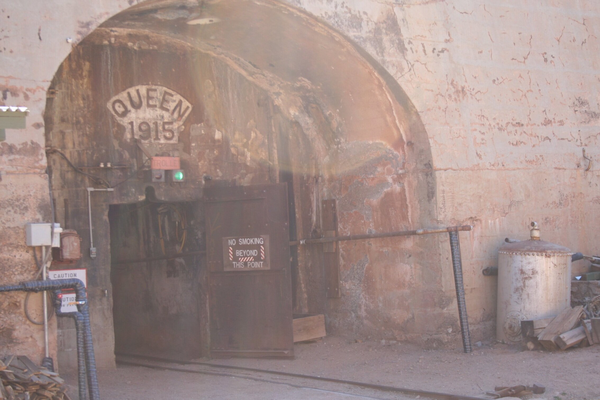
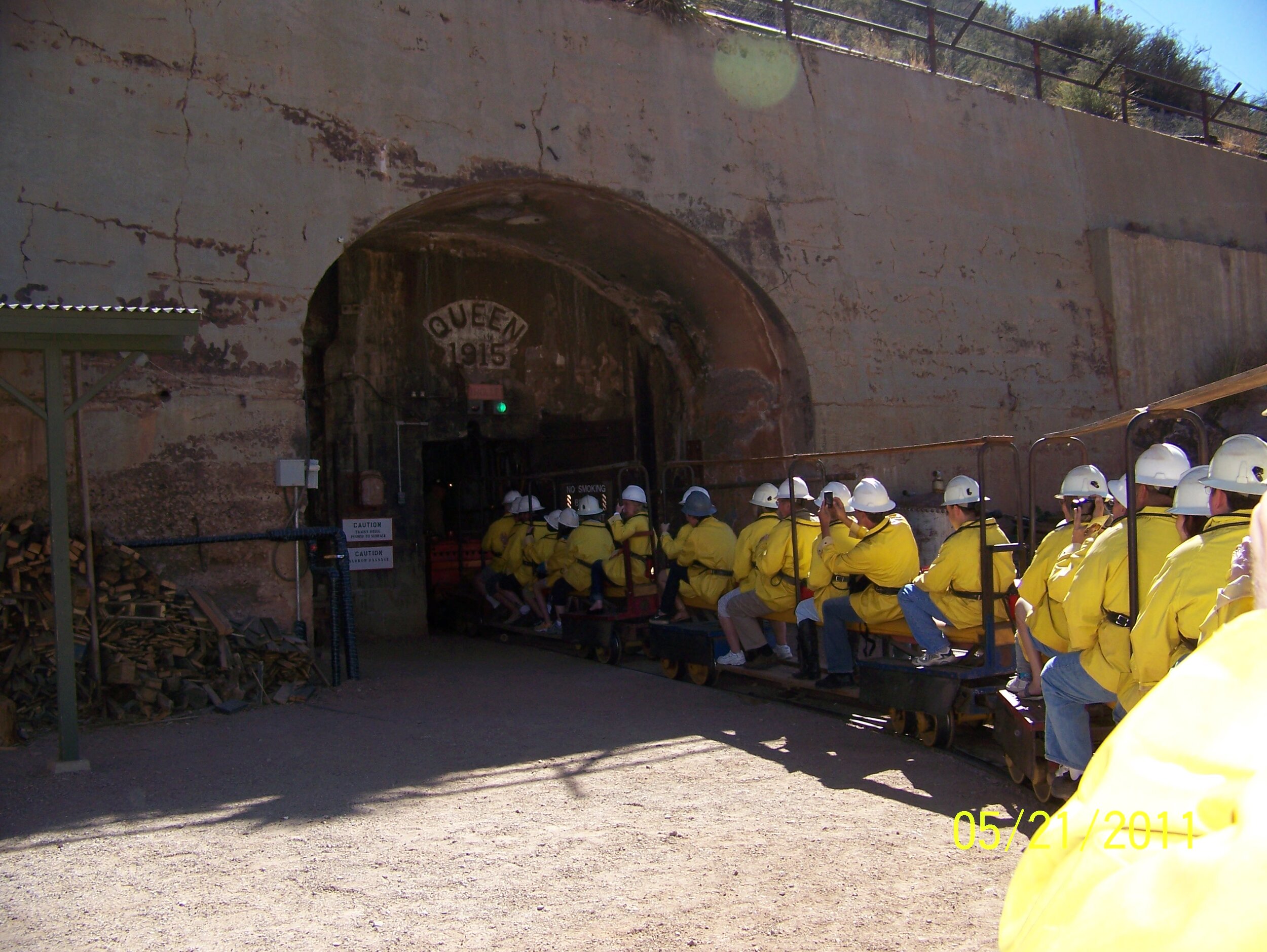
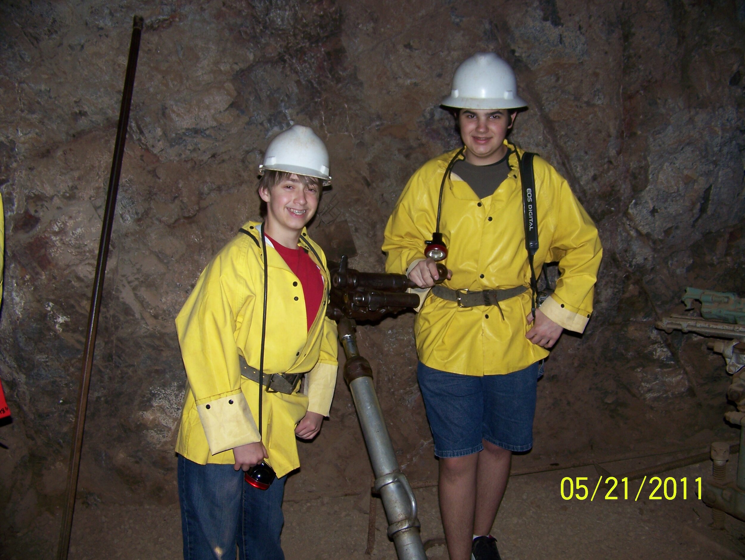
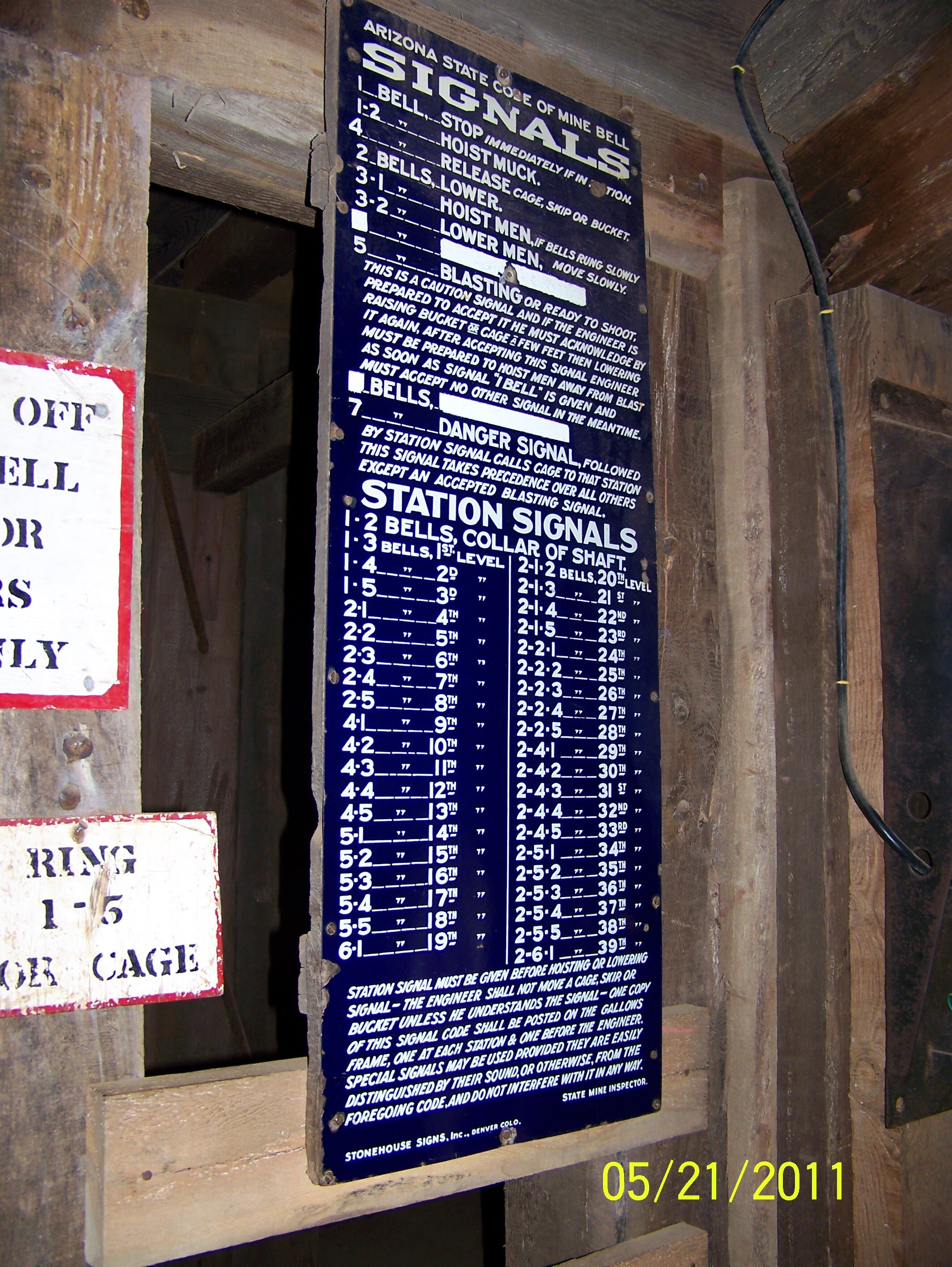
As we entered the mine we were immediately met with a cool, 47 degree air temperature and almost complete darkness. After riding 1500 feet into the mine, you’ll get off the mine train and be led by a knowledgeable tour guide to some of the more prominent parts of the mine. A bit of climbing is required but you get to see some neat old equipment, some interesting minerals, and learn all about life in the mines. It really is a neat thing and is definitely one to check off the bucket list. After an hour and fifteen minutes, we were back on the train and being dragged out of the mine. We spent a few minutes checking out the gift shop they had, returned our mining attire and were on our way.
We spent the next 45 minutes exploring the southern part of Bisbee. After the traditional mining methods failed, Phelps’s Dodge turned to open pit mining. Two massive open pits, sit just south of Bisbee. Bisbee offers a whole lot more things to check out and you could easily spend all day there, but because the sun was starting to set, we decided it was time to start heading back north again.
Heading east on Middlemarch Road, just before sunset.
25 minutes later we were back in Tombstone. The street’s seemed a little less rowdy than they had been before. Just a few minutes outside of Tombstone, we turned right off the paved road onto Middlemarch Road. Middlemarch Road is a 20 mile dirt road shortcut that takes you into the Dragoon Mountains, up and over Middlemarch Pass and then drops you into the Sulphur Springs Valley and the town of Pearce. It was a great and mostly easy trail (high clearance recommended, 4WD not required). It started off winding through the high desert plains near Tombstone, and began to climb as it entered the Coronado National Forest.
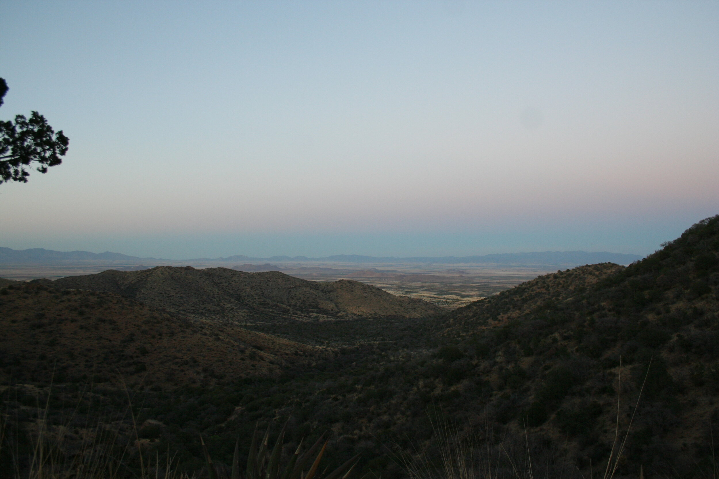
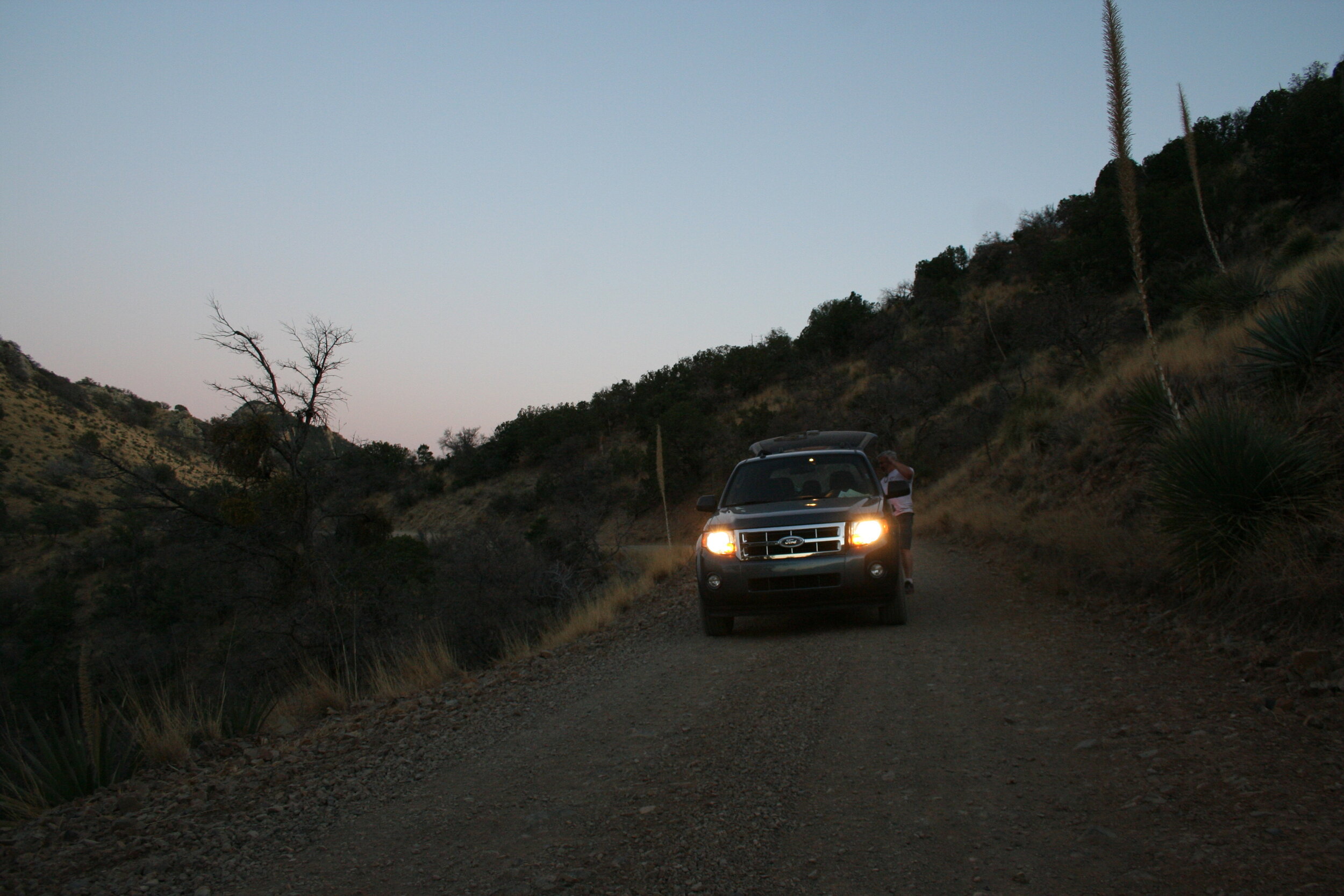
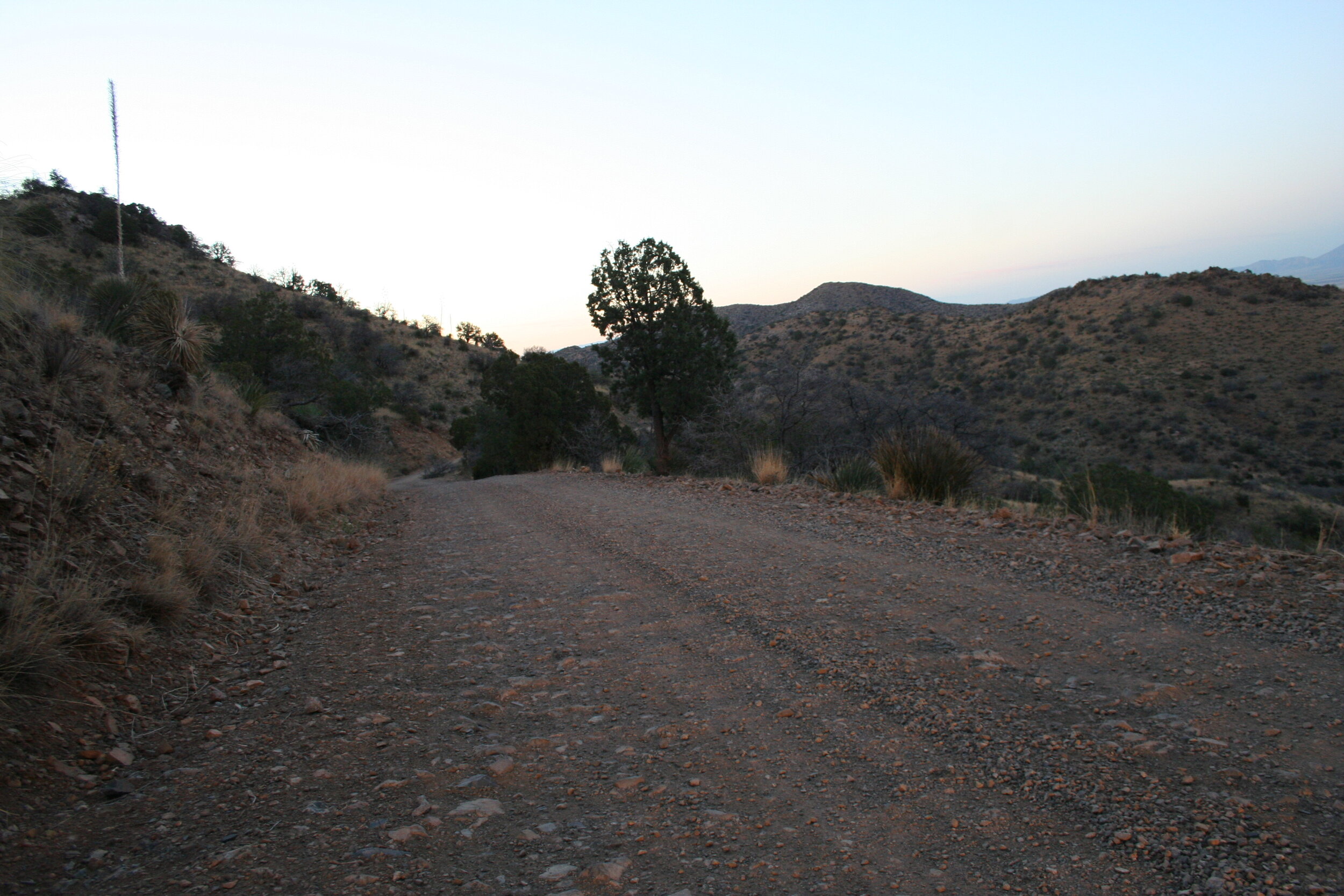
About 45 minutes later, we stopped at the high point of the trail to take in the great view of the Sulphur Springs Valley. It was about 7:30 P.M. and the sun had just set. After a quick break we got back in the car and continued down the road. It was now a race against darkness. We still had a little over an hour to go before we’d reach our stopping point for the night. 45 minutes of slightly rougher dirt roads, we found ourselves entering the outskirts of Pearce, a near ghost town. It was just then that we found our road, Ironwood Road. We headed due west straight back into the Dragoon Mountains. After 10 miles, we finally found the cabin. We were home for the night.
The Shaw House, a 10-room rock cabin in the heart of Cochise Stronghold was our base for the night. The spacious cabin was built almost 100 years ago and is one of two cabins in the area that can be rented through the Rooms with a View Program. Cochise, the famed Chiricahua Apache Indian Chief, made this rugged natural fortress in the surrounding area his hideout along with up to 1,000 of his followers from 1860 to 1872. After fierce fighting with the U.S. Calvary, he finally came to peace with the white man in 1872. After his death, he was buried somewhere in the rugged wilderness. After a quick dinner, we stepped outside to look at the stars, which were quite plentiful. It was shortly after this we called it a night.
Day 2:
Our morning view from Shaw House. Rockfellow Dome can be seen in the background.
At 6:00 A.M. the next morning we were up and at ‘em. We were anxious to begin another action packed day, but first we couldn’t wait to check out the outside of the Shaw House. Since we arrived in the night, we hadn’t gotten a chance to look at the surrounding terrain, which was quite spectacular. The boulder strewn mountains lined both sides of the narrow road we had followed in. Rockfellow Dome stood prominent over our cabin. We began to realize why Cochise made this area his home for 10 years. It would be nearly impossible to navigate through these mountains– and that’s if you could even get anywhere close to them.
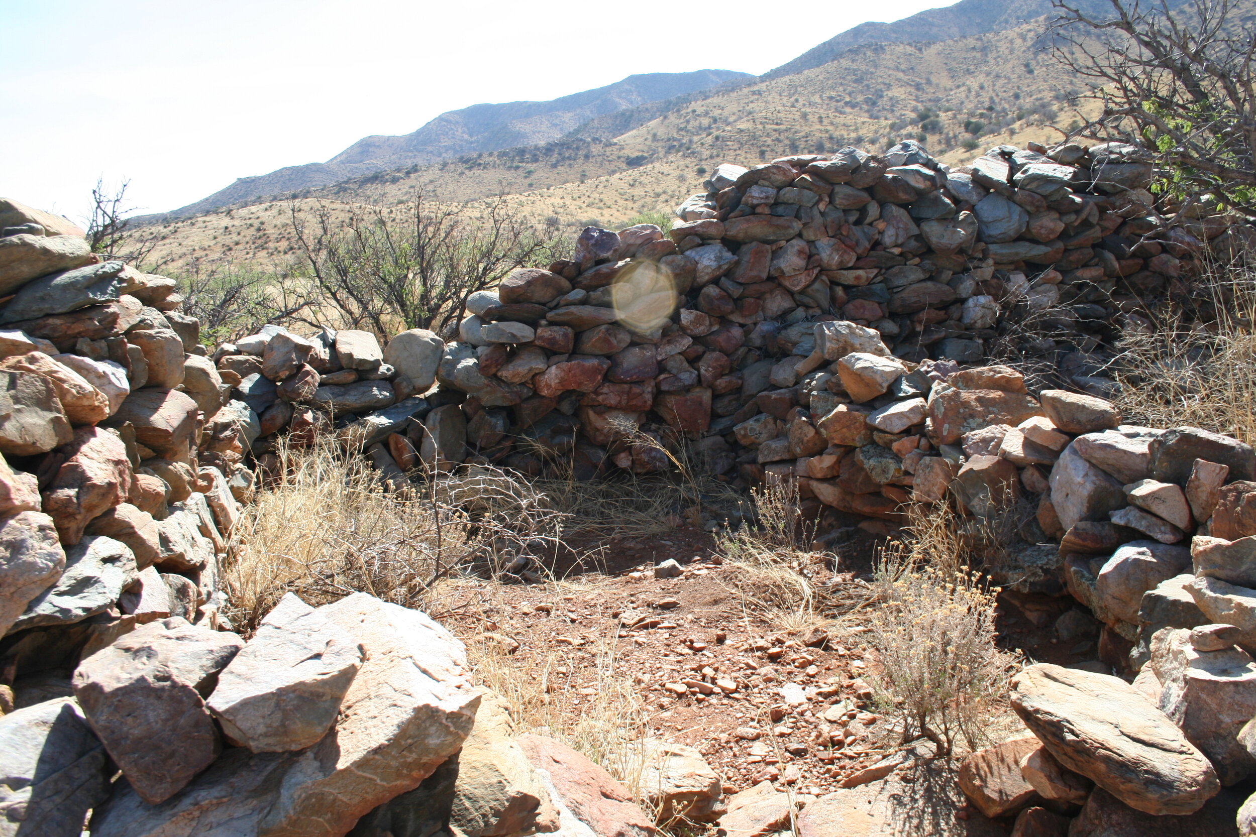
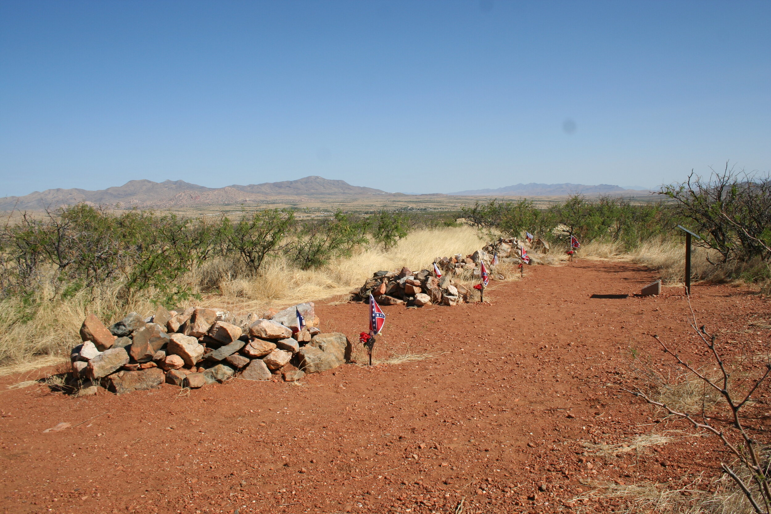
After checking out the rest of the property, we hit the road just before 8:00 A.M. We headed east and then north on Dragoon Road. Our first stop of the day was an old stage station used by the Butterfield Stagecoach and known as Dragoon Springs Stage Station. After a few miles off road, we arrived at the station. There’s just a rock foundation left, but enough to see how it was built. This stage station, and the surrounding area, marked some of the most dangerous sections of the stagecoach route. With the rugged Dragoon Mountains and Cochise Stronghold just to the south, it wasn’t uncommon to encounter some violence when riding through this part. It is said that Cochise and his men picked off 22 stagecoach drivers during a 16 month period. This wasn’t the only violence here though. When the stagecoach station was being built, Mexican laborers revolted, killing those building the station. In addition, just to the south of the station are Confederate graves of those killed while patrolling the area. The Apache’s truly dominated this area for a time. For further education on the area and the conflict, a visit to Fort Bowie to the east is highly recommended.
It was about 9:00 A.M. when we left the station and headed towards I-10. 15 minutes later, we were going westbound again. Just a few exits later, we got off the freeway and headed south towards another Titan II Missile silo. This one was known as 571-1 and was active 1962- 1983. Like the other silos, this one was almost completely destroyed, leaving little to the inquiring visitor. And like the other one we visited the day before, this one too is on private property. After a short time, we got back in the SUV and headed back north for I-10. We followed I-10 west for another 55 miles until we got to Tucson, where we had a few more stops planned for the day.
After driving around Davis Mothan AFB and checking out some of the boneyard, we found our first major stop – the Pima Air & Space Museum. The Pima Air & Space Museum is a great museum to stop at and has planes like the B-36, B-52’s, B-25’s, and an SR-71 Blackbird in addition to hundreds of other planes. They have several exhibits inside multiple hangars as well as an extensive outside exhibit. The tours are self-guided however you can take an outside tour on a bus. We decided to do the guided tour and figured it’d be worth the extra time and money. It definitely was. We learned a lot about most of the outside planes. After that, we finished up the inside hangars and headed for the gift shop.
The massive B-36 “Peacemaker” on display at the Pima Air & Space Museum.
Several hours later, we were on the road again. We headed west through Tucson to Highway 86, Tucson-Ajo Highway. We figured we’d take the scenic route home and followed the desert road as it winded through the mountains. We passed Old Tucson Studios, home to the sets of numerous famous western movies. After that we passed through part of Saguaro National Park where we made a quick stop. They call it Saguaro National Park for a reason and you have to see it to fully take it all in. Its views like this that prove just how beautiful the desolate desert can be.
By the time we had done all of this, it was 5:00 P.M. We unfortunately had to begin making our way back home. We headed north to I-10 and after an hour and a half, were back home in Avondale. Like the past trip, this one turned out to be great. We saw some of the most iconic sights southern Arizona has to offer and had a great time while doing it. We also stayed at another cabin in the awesome Rooms with a View Program. All in all it was a great trip. With some time for relaxing, this trip was one to remember for a while. But there was still a lot of things we hadn’t seen. We definitely needed to plan another trip down here.


